Kitakata night lights from space
Night Light of Kitakata (Fukushima) from space (Japan) Src. Average luminocity for 10x10km area is 6.1718% and for 50x50km: 1.9608%.
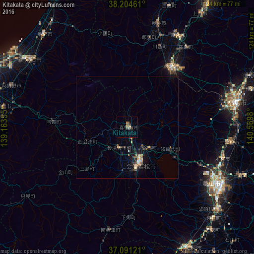
Analysis of Kitakata night lights 2016
Square area 10x10 km:
 0.17%
0.17%90-99
0.51%80-89
0.51%70-79
0.68%60-69
1.7%50-59
1.53%40-49
1.87%30-39
1.19%20-29
0.68%10-19
0%0-9
91.16%Square area 50x50 km:
0.1%90-99
0.17%80-89
0.16%70-79
0.24%60-69
0.32%50-59
0.39%40-49
0.34%30-39
0.36%20-29
0.52%10-19
1.35%0-9
96.03%Clear (daylight) street map image can be seen on geolist.org.
Map coordinates:
38° 12' 16.6" North, 139° 9' 48.8" East
37° 39' 0" North, 139° 52' 0" East
37° 5' 28.4" North, 140° 34' 11.3" East
Some cities around Kitakata sort by population:
• Kōriyama
53.4 km =33.2 mi,  121°
121°
• Fukushima
53.9 km =33.5 mi,  78°
78°
• Yonezawa
36.3 km =22.6 mi,  37°
37°
• Nihommatsu
50.5 km =31.4 mi,  98°
98°
• Nagai
52.6 km =32.7 mi,  16°
16°
• Takahata
48.5 km =30.1 mi, 36°
• Motomiya
49.4 km =30.7 mi,  107°
107°
• Inawashiro
23.9 km =14.9 mi, 112°
1859319 (p: 37,140)
Sources (retrieved 2019-11-25):
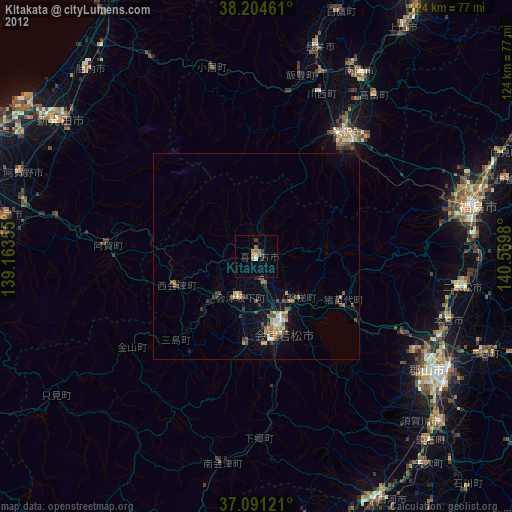
» Earth at Night: Flat Maps 2012, 2016