Fukushima night lights from space
Night Light of Fukushima from space (Japan) Src. Average luminocity for 10x10km area is 48.6582% and for 50x50km: 5.403%.
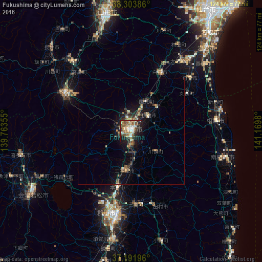
Analysis of Fukushima night lights 2016
Square area 10x10 km:
 6.63%
6.63%90-99
7.99%80-89
5.61%70-79
5.44%60-69
12.41%50-59
8.5%40-49
10.03%30-39
6.63%20-29
12.93%10-19
20.24%0-9
3.57%Square area 50x50 km:
0.34%90-99
0.59%80-89
0.62%70-79
0.58%60-69
0.93%50-59
0.86%40-49
1.2%30-39
1%20-29
1.6%10-19
3.85%0-9
88.43%Clear (daylight) street map image can be seen on geolist.org.
Map coordinates:
38° 18' 13.9" North, 139° 45' 48.8" East
37° 45' 0" North, 140° 28' 0" East
37° 11' 31.1" North, 141° 10' 11.3" East
Some cities around Fukushima sort by population:
• Shiroishi
31.2 km =19.4 mi,  25°
25°
• Nihommatsu
18.8 km =11.7 mi,  188°
188°
• Hobaramachi
10.4 km =6.5 mi,  44°
44°
• Funehikimachi-funehiki
35 km =21.7 mi,  163°
163°
• Motomiya
26.9 km =16.7 mi, 192°
• Yanagawamachi-saiwaichō
16.2 km =10.1 mi,  46°
46°
• Miharu
35.2 km =21.9 mi,  177°
177°
• Marumori
32.2 km =20 mi, 54°
2112923 (p: 294,237)
Sources (retrieved 2019-11-25):
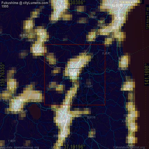
» NASA, Earths city lights 1995
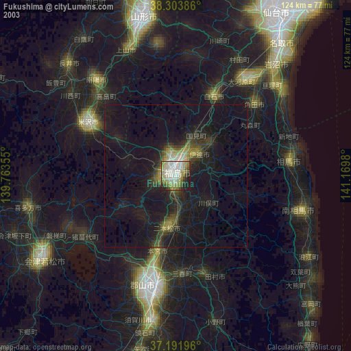
» NASA city lights 2003
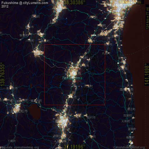
» Earth at Night: Flat Maps 2012, 2016