Fujinomiya night lights from space
Night Light of Fujinomiya (Shizuoka) from space (Japan) Src. Average luminocity for 10x10km area is 36.9738% and for 50x50km: 12.2334%.
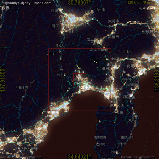
Analysis of Fujinomiya night lights 2016
Square area 10x10 km:
 3.32%
3.32%90-99
3.67%80-89
3.67%70-79
2.45%60-69
8.74%50-59
9.09%40-49
6.99%30-39
10.31%20-29
14.86%10-19
24.48%0-9
12.41%Square area 50x50 km:
1.59%90-99
2.09%80-89
1.32%70-79
1.12%60-69
1.4%50-59
2.15%40-49
1.84%30-39
2.1%20-29
4.03%10-19
9.09%0-9
73.27%Clear (daylight) street map image can be seen on geolist.org.
Map coordinates:
35° 47' 20.7" North, 137° 54' 48.8" East
35° 13' 0" North, 138° 37' 0" East
34° 38' 24.8" North, 139° 19' 11.3" East
Some cities around Fujinomiya sort by population:
• Shizuoka
33.5 km =20.8 mi,  219°
219°
• Fuji
8.2 km =5.1 mi,  132°
132°
• Numazu
26.2 km =16.3 mi,  119°
119°
• Mishima
29.4 km =18.3 mi,  112°
112°
• Gotenba
31.8 km =19.8 mi,  69°
69°
• Fujiyoshida
29.7 km =18.5 mi,  33°
33°
• Fujikawaguchiko
31 km =19.3 mi,  12°
12°
• Hakone
37.4 km =23.2 mi,  94°
94°
1864105 (p: 121,515)
Sources (retrieved 2019-11-25):
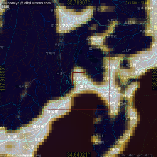
» NASA, Earths city lights 1995
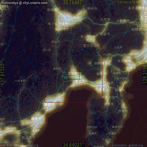
» NASA city lights 2003
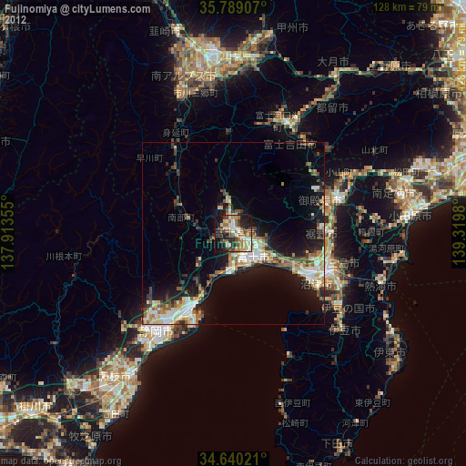
» Earth at Night: Flat Maps 2012, 2016