Numazu night lights from space
Night Light of Numazu (Shizuoka) from space (Japan) Src. Average luminocity for 10x10km area is 59.9073% and for 50x50km: 14.9743%.
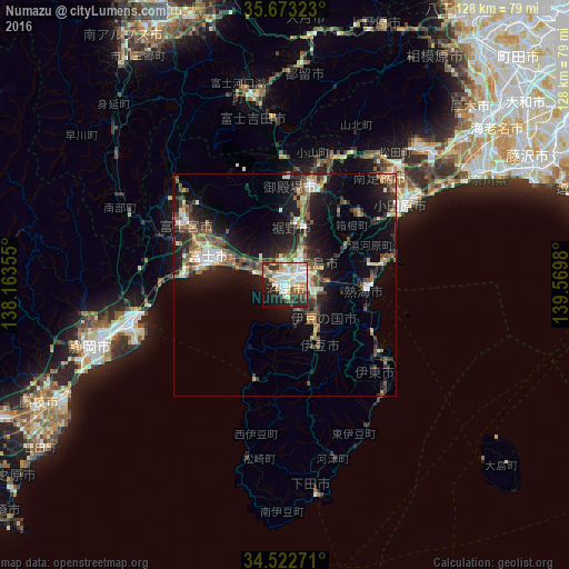
Analysis of Numazu night lights 2016
Square area 10x10 km:
 13.29%
90-99
15.56%80-89
9.62%70-79
9.62%60-69
4.72%50-59
5.59%40-49
5.77%30-39
4.72%20-29
16.61%10-19
11.71%0-9
2.8%Square area 50x50 km:
1.6%90-99
2.22%80-89
1.23%70-79
1.66%60-69
2.01%50-59
2.73%40-49
2.75%30-39
2.79%20-29
5.25%10-19
11.15%0-9
66.62%Clear (daylight) street map image can be seen on geolist.org.
Map coordinates:
35° 40' 23.6" North, 138° 9' 48.8" East
35° 6' 0" North, 138° 52' 0" East
34° 31' 21.8" North, 139° 34' 11.3" East
Some cities around Numazu sort by population:
• Fuji
18.2 km =11.3 mi,  293°
293°
• Fujinomiya
26.2 km =16.3 mi,  299°
299°
• Mishima
4.9 km =3 mi,  67°
67°
• Gotenba
25.3 km =15.7 mi,  16°
16°
• Itō
24.7 km =15.3 mi,  126°
126°
• Atami
17 km =10.6 mi,  94°
94°
• Yugawara
19 km =11.8 mi, 73°
• Hakone
17.6 km =10.9 mi,  55°
55°
1854902 (p: 204,318)
Sources (retrieved 2019-11-25):
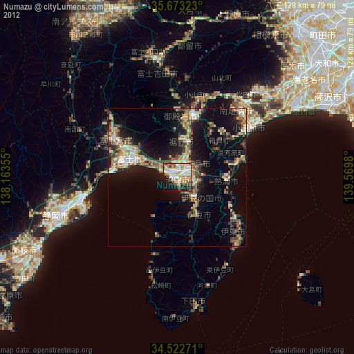
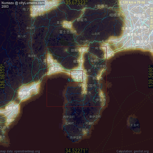
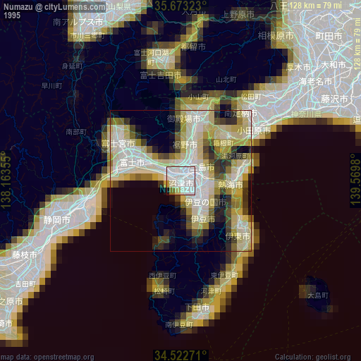
» NASA, Earths city lights 1995
» NASA city lights 2003
» Earth at Night: Flat Maps 2012, 2016