Gotenba night lights from space
Night Light of Gotenba (Shizuoka) from space (Japan) Src. Average luminocity for 10x10km area is 35.033% and for 50x50km: 15.6927%.
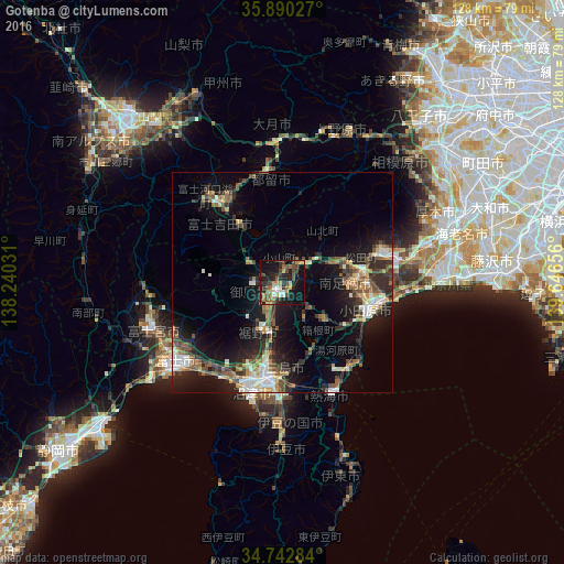
Analysis of Gotenba night lights 2016
Square area 10x10 km:
 3.85%
3.85%90-99
3.66%80-89
3.11%70-79
4.58%60-69
6.23%50-59
4.4%40-49
10.07%30-39
7.14%20-29
10.81%10-19
35.35%0-9
10.81%Square area 50x50 km:
1.69%90-99
2.41%80-89
1.25%70-79
1.89%60-69
1.9%50-59
2.6%40-49
3.08%30-39
2.82%20-29
5.25%10-19
11.6%0-9
65.51%Clear (daylight) street map image can be seen on geolist.org.
Map coordinates:
35° 53' 25" North, 138° 14' 25.1" East
35° 19' 6.9" North, 138° 56' 36.3" East
34° 44' 34.2" North, 139° 38' 47.6" East
Some cities around Gotenba sort by population:
• Numazu
25.3 km =15.7 mi,  196°
196°
• Odawara
20.8 km =12.9 mi,  109°
109°
• Hadano
26.1 km =16.2 mi,  77°
77°
• Mishima
22.6 km =14 mi,  186°
186°
• Fujiyoshida
19 km =11.8 mi,  315°
315°
• Atami
27.5 km =17.1 mi,  158°
158°
• Yugawara
21.8 km =13.5 mi,  149°
149°
• Hakone
16.2 km =10.1 mi, 152°
1863528 (p: 83,794)
Sources (retrieved 2019-11-25):
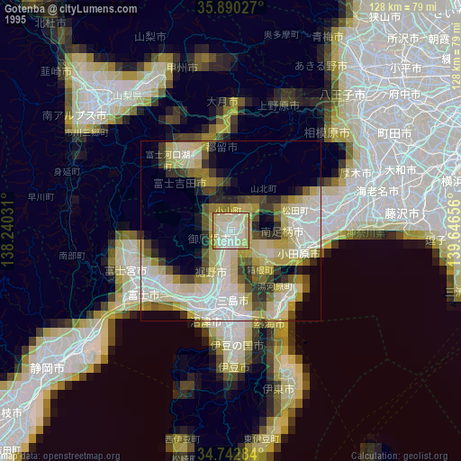
» NASA, Earths city lights 1995
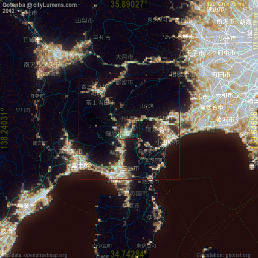
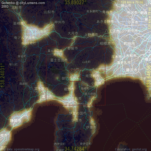
» NASA city lights 2003
» Earth at Night: Flat Maps 2012, 2016