Shizuoka night lights from space
Night Light of Shizuoka from space (Japan) Src. Average luminocity for 10x10km area is 71.0549% and for 50x50km: 14.7716%.
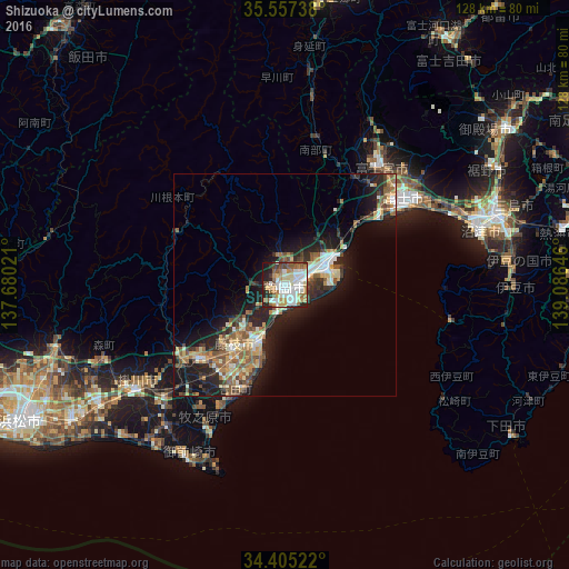

Analysis of Shizuoka night lights 2016
Square area 10x10 km:
 18.32%
90-99
21.25%80-89
8.42%70-79
8.79%60-69
10.44%50-59
8.06%40-49
6.04%30-39
4.58%20-29
9.52%10-19
4.58%0-9
0%Square area 50x50 km:
1.54%90-99
2.5%80-89
1.98%70-79
1.81%60-69
2%50-59
2.95%40-49
2.18%30-39
1.99%20-29
5.36%10-19
9.77%0-9
67.92%Clear (daylight) street map image can be seen on geolist.org.
Map coordinates:
35° 33' 26.6" North, 137° 40' 48.8" East
34° 58' 60" North, 138° 22' 60" East
34° 24' 18.8" North, 139° 5' 11.3" East
Some cities around Shizuoka sort by population:
• Fuji
34.1 km =21.2 mi,  53°
53°
• Fujieda
16.8 km =10.4 mi,  219°
219°
• Fujinomiya
33.5 km =20.8 mi,  39°
39°
• Yaizu
14 km =8.7 mi,  204°
204°
• Kakegawa
41.2 km =25.6 mi,  234°
234°
• Shimada
26 km =16.2 mi, 224°
• Sagara
37 km =23 mi,  206°
206°
• Kanaya
29.5 km =18.3 mi, 232°
1851717 (p: 701,561)
Sources (retrieved 2019-11-25):
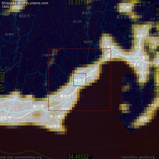
» NASA, Earths city lights 1995
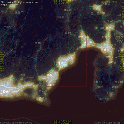
» NASA city lights 2003
» Earth at Night: Flat Maps 2012, 2016