Mishima night lights from space
Night Light of Mishima (Shizuoka) from space (Japan) Src. Average luminocity for 10x10km area is 66.5402% and for 50x50km: 15.1904%.
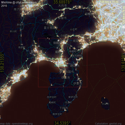
Analysis of Mishima night lights 2016
Square area 10x10 km:
 12.59%
90-99
19.41%80-89
10.49%70-79
9.27%60-69
6.47%50-59
9.79%40-49
11.71%30-39
4.9%20-29
6.99%10-19
8.22%0-9
0.17%Square area 50x50 km:
1.72%90-99
2.43%80-89
1.23%70-79
1.82%60-69
1.96%50-59
2.53%40-49
2.81%30-39
2.6%20-29
4.97%10-19
11.25%0-9
66.69%Clear (daylight) street map image can be seen on geolist.org.
Map coordinates:
35° 41' 23.2" North, 138° 12' 48.8" East
35° 7' 0" North, 138° 55' 0" East
34° 32' 22.2" North, 139° 37' 11.3" East
Some cities around Mishima sort by population:
• Fuji
21.9 km =13.6 mi,  284°
284°
• Numazu
4.9 km =3 mi,  247°
247°
• Odawara
27 km =16.8 mi,  55°
55°
• Gotenba
22.6 km =14 mi,  6°
6°
• Itō
22.5 km =14 mi,  137°
137°
• Atami
12.8 km =8 mi,  104°
104°
• Yugawara
14.1 km =8.8 mi,  74°
74°
• Hakone
12.9 km =8 mi,  50°
50°
1856977 (p: 113,479)
Sources (retrieved 2019-11-25):
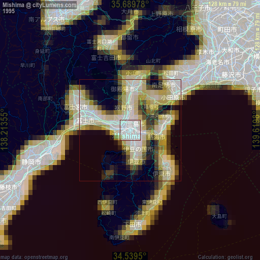
» NASA, Earths city lights 1995
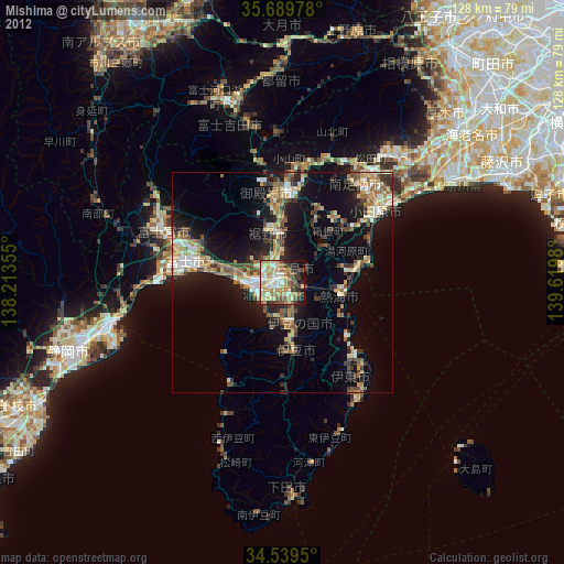
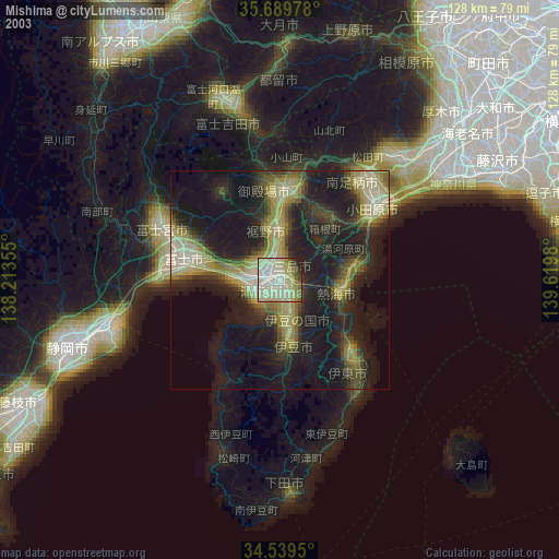
» NASA city lights 2003
» Earth at Night: Flat Maps 2012, 2016