Ar Ramthā night lights from space
Night Light of Ar Ramthā (Irbid) from space (Jordan) Src. Average luminocity for 10x10km area is 61.771% and for 50x50km: 33.4371%.
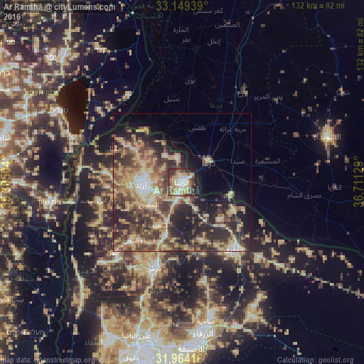
Analysis of Ar Ramthā night lights 2016
Square area 10x10 km:
 10.14%
90-99
11.36%80-89
11.54%70-79
11.54%60-69
6.82%50-59
11.36%40-49
10.66%30-39
11.36%20-29
10.14%10-19
5.07%0-9
0%Square area 50x50 km:
2.55%90-99
3.31%80-89
7.88%70-79
6.32%60-69
4.14%50-59
5.64%40-49
8.44%30-39
7.02%20-29
10.78%10-19
9.61%0-9
34.32%Clear (daylight) street map image can be seen on geolist.org.
Map coordinates:
33° 8' 57.8" North, 35° 18' 18.1" East
32° 33' 31.4" North, 36° 0' 29.4" East
31° 57' 51" North, 36° 42' 40.6" East
Some cities around Ar Ramthā sort by population:
• Irbid
14.8 km =9.2 mi,  268°
268°
• Dar‘ā, SY
11.1 km =6.9 mi,  52°
52°
• Aydūn
15.3 km =9.5 mi,  247°
247°
• Aţ Ţurrah
9.2 km =5.7 mi,  348°
348°
• Ash Shajarah
11.3 km =7 mi,  326°
326°
• Ḩakamā
12.3 km =7.6 mi,  288°
288°
• Sāl
9.1 km =5.7 mi,  277°
277°
• Kharjā
15.9 km =9.9 mi,  314°
314°
250336 (p: 74,901)
Sources (retrieved 2019-11-25):
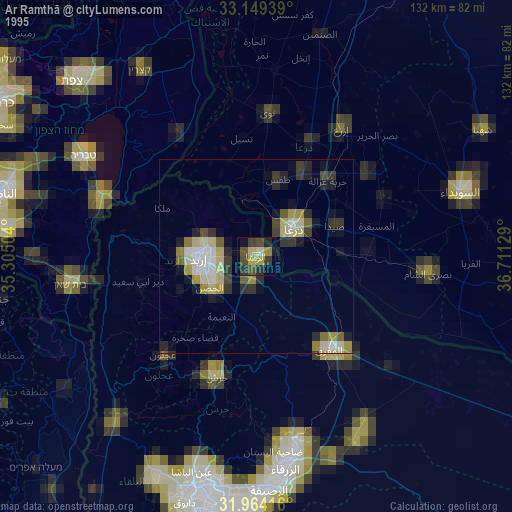
» NASA, Earths city lights 1995
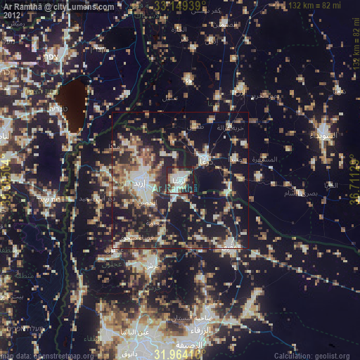
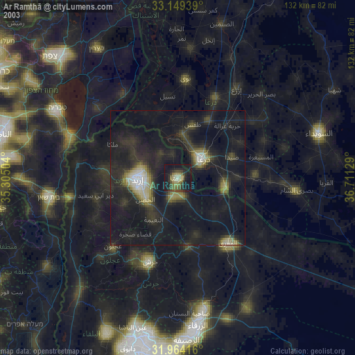
» NASA city lights 2003
» Earth at Night: Flat Maps 2012, 2016