Dar‘ā night lights from space
Night Light of Dar‘ā (Daraa) from space (Syria) Src. Average luminocity for 10x10km area is 11.5752% and for 50x50km: 19.7842%.
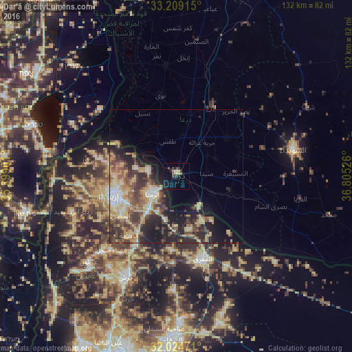
Analysis of Dar‘ā night lights 2016
Square area 10x10 km:
 0%
0%90-99
0%80-89
2.62%70-79
2.27%60-69
0.35%50-59
1.05%40-49
2.8%30-39
3.32%20-29
2.45%10-19
10.66%0-9
74.48%Square area 50x50 km:
1.74%90-99
2.17%80-89
4.9%70-79
3.28%60-69
1.88%50-59
2.99%40-49
4.58%30-39
3.8%20-29
6.11%10-19
8.3%0-9
60.24%Clear (daylight) street map image can be seen on geolist.org.
Map coordinates:
33° 12' 32.9" North, 35° 23' 56.4" East
32° 37' 8" North, 36° 6' 7.7" East
32° 1' 29" North, 36° 48' 18.9" East
Some cities around Dar‘ā sort by population:
• Ar Ramthā, JO
11.1 km =6.9 mi,  232°
232°
• Ţafas
13.6 km =8.5 mi,  345°
345°
• Aţ Ţurrah, JO
10.8 km =6.7 mi,  282°
282°
• Ash Shajarah, JO
15.3 km =9.5 mi, 280°
• Ḩakamā, JO
20.7 km =12.9 mi,  262°
262°
• Sāl, JO
18.7 km =11.6 mi,  252°
252°
• Al Ḩamrā’, JO
20.4 km =12.7 mi,  166°
166°
• Kharjā, JO
20.6 km =12.8 mi, 282°
170905 (p: 97,969)
Sources (retrieved 2019-11-25):
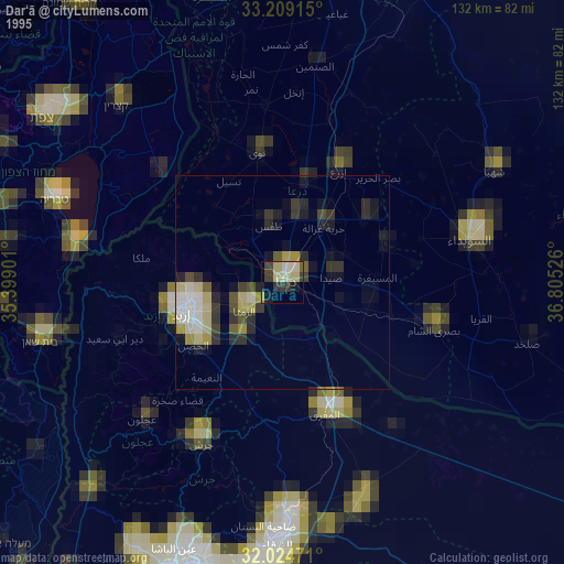
» NASA, Earths city lights 1995
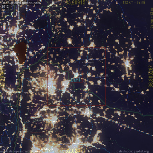
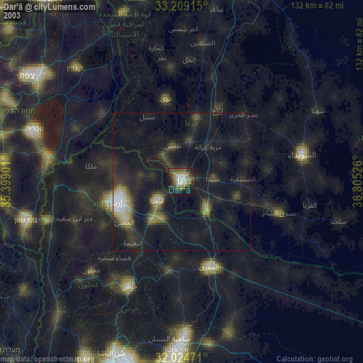
» NASA city lights 2003
» Earth at Night: Flat Maps 2012, 2016