Irbid night lights from space
Night Light of Irbid from space (Jordan) Src. Average luminocity for 10x10km area is 85.9353% and for 50x50km: 38.2575%.
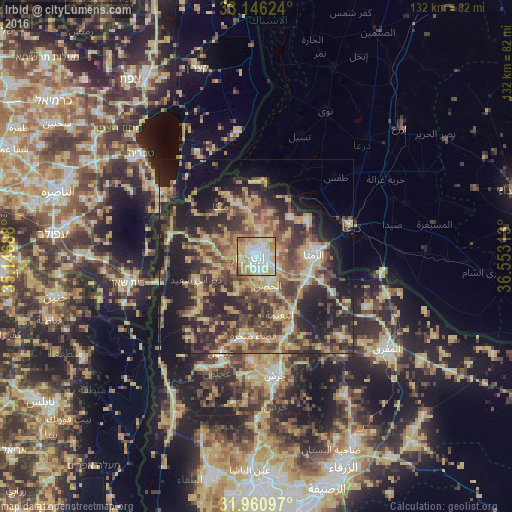
Analysis of Irbid night lights 2016
Square area 10x10 km:
 25.17%
90-99
22.2%80-89
23.95%70-79
14.51%60-69
8.39%50-59
4.72%40-49
1.05%30-39
0%20-29
0%10-19
0%0-9
0%Square area 50x50 km:
2.39%90-99
3.23%80-89
8.37%70-79
7.35%60-69
5.27%50-59
6.34%40-49
10.03%30-39
8.32%20-29
13.06%10-19
16.82%0-9
18.84%Clear (daylight) street map image can be seen on geolist.org.
Map coordinates:
33° 8' 46.5" North, 35° 8' 48.8" East
32° 33' 20" North, 35° 51' 0" East
31° 57' 39.5" North, 36° 33' 11.3" East
Some cities around Irbid sort by population:
• Aydūn
5.6 km =3.5 mi,  172°
172°
• Bayt Yāfā
7 km =4.3 mi,  238°
238°
• Ḩakamā
5.2 km =3.2 mi,  36°
36°
• Sāl
6 km =3.7 mi,  75°
75°
• Dayr Yūsuf
9.1 km =5.7 mi,  213°
213°
• Ḩātim
12 km =7.5 mi,  325°
325°
• Kharjā
12.1 km =7.5 mi,  16°
16°
• Qumaym
11 km =6.8 mi,  279°
279°
248946 (p: 307,480)
Sources (retrieved 2019-11-25):
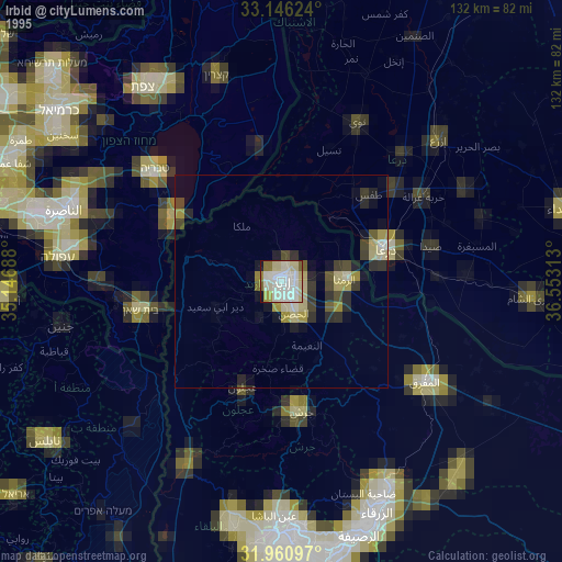
» NASA, Earths city lights 1995
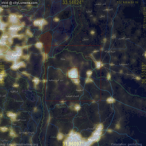
» NASA city lights 2003
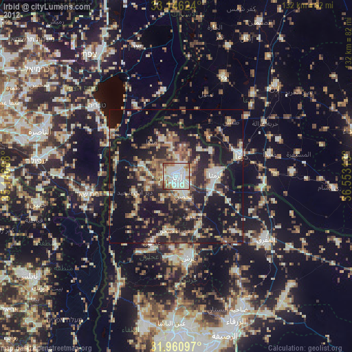
» Earth at Night: Flat Maps 2012, 2016