Vignola night lights from space
Night Light of Vignola (Emilia-Romagna) from space (Italy) Src. Average luminocity for 10x10km area is 37.327% and for 50x50km: 27.9628%.
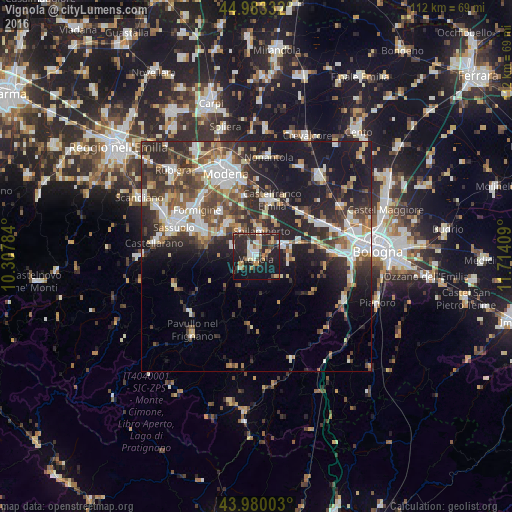
Analysis of Vignola night lights 2016
Square area 10x10 km:
 2.7%
2.7%90-99
7.94%80-89
4.13%70-79
4.29%60-69
6.03%50-59
2.22%40-49
5.56%30-39
5.4%20-29
26.03%10-19
30.63%0-9
5.08%Square area 50x50 km:
4.75%90-99
5.66%80-89
2.62%70-79
2.31%60-69
3.2%50-59
3.8%40-49
4.8%30-39
5.58%20-29
10.62%10-19
16.25%0-9
40.41%Clear (daylight) street map image can be seen on geolist.org.
Map coordinates:
44° 58' 60" North, 10° 18' 28.2" East
44° 29' 1.8" North, 11° 0' 39.5" East
43° 58' 48.1" North, 11° 42' 50.7" East
Some cities around Vignola sort by population:
• Formigine
16.3 km =10.1 mi,  307°
307°
• Castelfranco Emilia
12.7 km =7.9 mi,  14°
14°
• Zola Predosa
16.5 km =10.3 mi,  87°
87°
• Maranello
12.4 km =7.7 mi,  294°
294°
• Anzola dell'Emilia
16.7 km =10.4 mi,  67°
67°
• Spilamberto
5.5 km =3.4 mi, 5°
• Castelnuovo Rangone
9.5 km =5.9 mi,  319°
319°
• Bazzano
6.3 km =3.9 mi, 71°
3164342 (p: 22,397)
Sources (retrieved 2019-11-25):
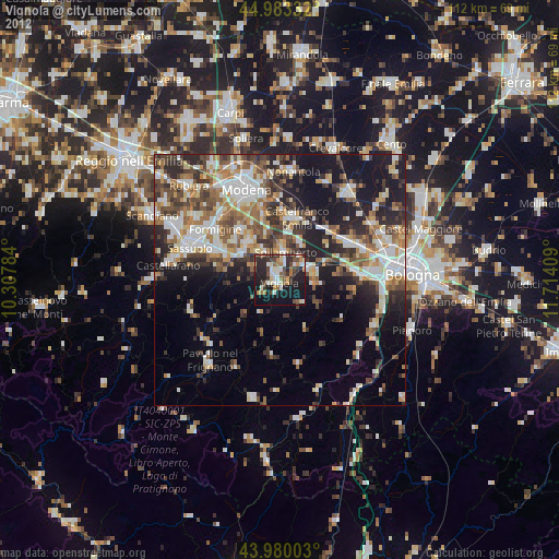
» Earth at Night: Flat Maps 2012, 2016