Formigine night lights from space
Night Light of Formigine (Emilia-Romagna) from space (Italy) Src. Average luminocity for 10x10km area is 73.6106% and for 50x50km: 32.6396%.
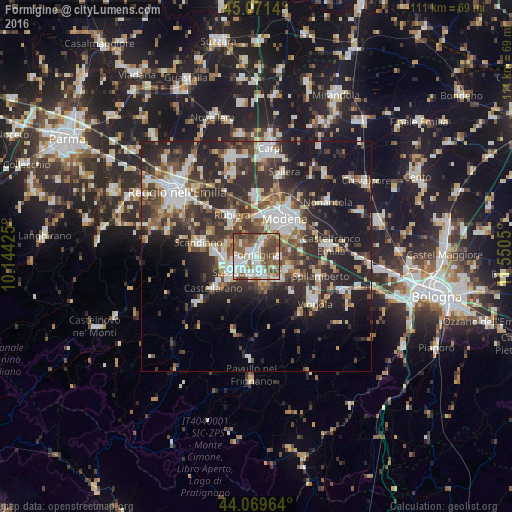
Analysis of Formigine night lights 2016
Square area 10x10 km:
 22.58%
90-99
19.7%80-89
3.64%70-79
3.79%60-69
9.7%50-59
20.45%40-49
15.91%30-39
4.24%20-29
0%10-19
0%0-9
0%Square area 50x50 km:
5.56%90-99
6.65%80-89
3.01%70-79
2.72%60-69
3.53%50-59
4.48%40-49
6.34%30-39
7.22%20-29
12.52%10-19
16.31%0-9
31.66%Clear (daylight) street map image can be seen on geolist.org.
Map coordinates:
45° 4' 17" North, 10° 8' 39.3" East
44° 34' 21.6" North, 10° 50' 50.5" East
44° 4' 10.7" North, 11° 33' 1.8" East
Some cities around Formigine sort by population:
• Modena
10.4 km =6.5 mi,  36°
36°
• Sassuolo
5.9 km =3.7 mi,  236°
236°
• Fiorano
4.7 km =2.9 mi,  216°
216°
• Rubiera
10.3 km =6.4 mi,  328°
328°
• Maranello
4.9 km =3 mi,  159°
159°
• Castelnuovo Rangone
7.3 km =4.5 mi,  110°
110°
• Casalgrande
9 km =5.6 mi,  278°
278°
• Veggia-Villalunga
7.3 km =4.5 mi,  259°
259°
3176733 (p: 26,324)
Sources (retrieved 2019-11-25):
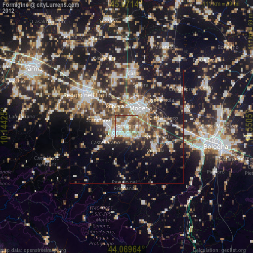
» Earth at Night: Flat Maps 2012, 2016