Scandicci night lights from space
Night Light of Scandicci (Tuscany) from space (Italy) Src. Average luminocity for 10x10km area is 63.3348% and for 50x50km: 27.093%.
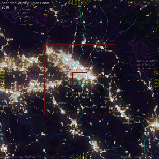
Analysis of Scandicci night lights 2016
Square area 10x10 km:
 22.73%
90-99
18.48%80-89
2.42%70-79
5.15%60-69
4.85%50-59
5%40-49
6.67%30-39
6.82%20-29
14.39%10-19
12.42%0-9
1.06%Square area 50x50 km:
5.66%90-99
5.65%80-89
1.91%70-79
2.17%60-69
3.17%50-59
4.04%40-49
3.86%30-39
3.32%20-29
8.28%10-19
14.35%0-9
47.59%Clear (daylight) street map image can be seen on geolist.org.
Map coordinates:
44° 15' 35.8" North, 10° 29' 5.4" East
43° 45' 15.2" North, 11° 11' 16.6" East
43° 14' 39.1" North, 11° 53' 27.9" East
Some cities around Scandicci sort by population:
• Florence
5.4 km =3.4 mi,  59°
59°
• Sesto Fiorentino
8.7 km =5.4 mi,  5°
5°
• Campi Bisenzio
9.1 km =5.7 mi,  329°
329°
• Signa
8.1 km =5 mi,  303°
303°
• Lastra a Signa
6.3 km =3.9 mi,  286°
286°
• Grassina Ponte a Ema
9.3 km =5.8 mi,  104°
104°
• San Casciano in Val di Pesa
10.5 km =6.5 mi,  181°
181°
• San Donnino
5.7 km =3.5 mi,  324°
324°
3166988 (p: 44,951)
Sources (retrieved 2019-11-25):
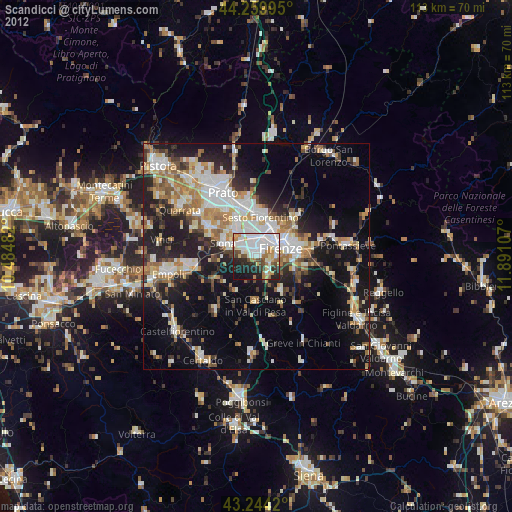
» Earth at Night: Flat Maps 2012, 2016