Sesto Fiorentino night lights from space
Night Light of Sesto Fiorentino (Tuscany) from space (Italy) Src. Average luminocity for 10x10km area is 73.6222% and for 50x50km: 26.0834%.
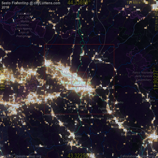
Analysis of Sesto Fiorentino night lights 2016
Square area 10x10 km:
 32.22%
90-99
25.71%80-89
2.22%70-79
4.76%60-69
2.06%50-59
3.81%40-49
2.54%30-39
7.78%20-29
10.63%10-19
7.3%0-9
0.95%Square area 50x50 km:
5.67%90-99
5.41%80-89
1.84%70-79
2.09%60-69
3.15%50-59
3.74%40-49
3.66%30-39
3.2%20-29
7.83%10-19
13.25%0-9
50.16%Clear (daylight) street map image can be seen on geolist.org.
Map coordinates:
44° 20' 13.2" North, 10° 29' 46" East
43° 49' 54.9" North, 11° 11' 57.3" East
43° 19' 21.2" North, 11° 54' 8.5" East
Some cities around Sesto Fiorentino sort by population:
• Florence
7 km =4.3 mi,  147°
147°
• Prato
9.8 km =6.1 mi,  303°
303°
• Scandicci
8.7 km =5.4 mi,  185°
185°
• Campi Bisenzio
5.6 km =3.5 mi,  261°
261°
• Calenzano
3.7 km =2.3 mi,  313°
313°
• Signa
8.7 km =5.4 mi,  241°
241°
• Lastra a Signa
9.8 km =6.1 mi,  225°
225°
• San Donnino
5.9 km =3.7 mi, 226°
3166601 (p: 45,656)
Sources (retrieved 2019-11-25):
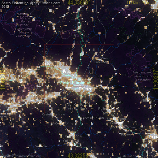
» Earth at Night: Flat Maps 2012, 2016