Campi Bisenzio night lights from space
Night Light of Campi Bisenzio (Tuscany) from space (Italy) Src. Average luminocity for 10x10km area is 87.0413% and for 50x50km: 27.6761%.
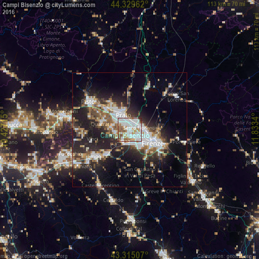
Analysis of Campi Bisenzio night lights 2016
Square area 10x10 km:
 36.35%
90-99
30.16%80-89
3.33%70-79
7.3%60-69
10.63%50-59
8.25%40-49
3.17%30-39
0.79%20-29
0%10-19
0%0-9
0%Square area 50x50 km:
5.73%90-99
5.57%80-89
2.02%70-79
2.34%60-69
3.18%50-59
3.9%40-49
4.02%30-39
3.71%20-29
9.45%10-19
14.82%0-9
45.26%Clear (daylight) street map image can be seen on geolist.org.
Map coordinates:
44° 19' 46.6" North, 10° 25' 37.7" East
43° 49' 28.2" North, 11° 7' 49" East
43° 18' 54.3" North, 11° 50' 0.2" East
Some cities around Campi Bisenzio sort by population:
• Prato
6.8 km =4.2 mi,  336°
336°
• Sesto Fiorentino
5.6 km =3.5 mi,  81°
81°
• Calenzano
4.4 km =2.7 mi,  40°
40°
• Signa
4 km =2.5 mi,  212°
212°
• Lastra a Signa
6.2 km =3.9 mi,  193°
193°
• Poggio A Caiano
6.4 km =4 mi,  259°
259°
• Seano
8.8 km =5.5 mi,  274°
274°
• San Donnino
3.5 km =2.2 mi,  157°
157°
3181018 (p: 32,871)
Sources (retrieved 2019-11-25):
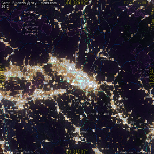
» Earth at Night: Flat Maps 2012, 2016