Rovereto night lights from space
Night Light of Rovereto (Trentino-Alto Adige) from space (Italy) Src. Average luminocity for 10x10km area is 32.6652% and for 50x50km: 10.0258%.
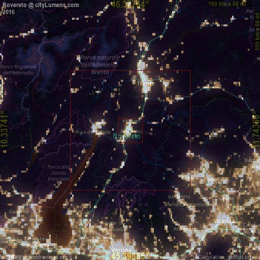
Analysis of Rovereto night lights 2016
Square area 10x10 km:
 4.91%
4.91%90-99
7.74%80-89
2.23%70-79
5.06%60-69
2.53%50-59
3.72%40-49
3.27%30-39
5.65%20-29
5.8%10-19
35.57%0-9
23.51%Square area 50x50 km:
1.19%90-99
1.72%80-89
0.78%70-79
0.92%60-69
0.92%50-59
1.35%40-49
1.44%30-39
1.74%20-29
2.72%10-19
9.3%0-9
77.91%Clear (daylight) street map image can be seen on geolist.org.
Map coordinates:
46° 22' 39.5" North, 10° 20' 14.7" East
45° 53' 25.4" North, 11° 2' 25.9" East
45° 23' 55.9" North, 11° 44' 37.2" East
Some cities around Rovereto sort by population:
• Trento
20.7 km =12.9 mi,  17°
17°
• Riva del Garda
15.4 km =9.6 mi,  268°
268°
• Arco
12.3 km =7.6 mi,  284°
284°
• Pergine Valsugana
24.6 km =15.3 mi,  38°
38°
• Mori
6.3 km =3.9 mi,  227°
227°
• Levico Terme
24.5 km =15.2 mi,  56°
56°
• Ala
14.7 km =9.1 mi,  190°
190°
• Mattarello
14.9 km =9.3 mi,  27°
27°
3168854 (p: 34,152)
Sources (retrieved 2019-11-25):
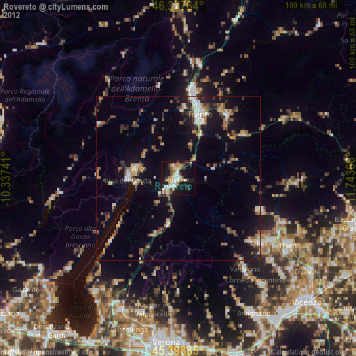
» Earth at Night: Flat Maps 2012, 2016