Legnago night lights from space
Night Light of Legnago (Veneto) from space (Italy) Src. Average luminocity for 10x10km area is 42.2076% and for 50x50km: 26.9842%.
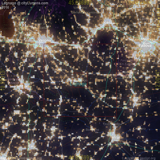
Analysis of Legnago night lights 2016
Square area 10x10 km:
 6.52%
6.52%90-99
5.91%80-89
5.15%70-79
3.64%60-69
3.79%50-59
6.97%40-49
8.79%30-39
8.79%20-29
23.33%10-19
26.67%0-9
0.45%Square area 50x50 km:
2.45%90-99
3.75%80-89
2.67%70-79
2.83%60-69
3.21%50-59
3.99%40-49
4.97%30-39
4.65%20-29
11.29%10-19
31.73%0-9
28.46%Clear (daylight) street map image can be seen on geolist.org.
Map coordinates:
45° 41' 13.2" North, 10° 35' 56.9" East
45° 11' 37.1" North, 11° 18' 8.2" East
44° 41' 45.6" North, 12° 0' 19.4" East
Some cities around Legnago sort by population:
• Bovolone
16.3 km =10.1 mi,  297°
297°
• Cerea
6.7 km =4.2 mi,  265°
265°
• Lonigo
22.3 km =13.9 mi,  16°
16°
• Montagnana
13.4 km =8.3 mi,  71°
71°
• Noventa Vicentina
22.3 km =13.9 mi,  59°
59°
• Nogara
19 km =11.8 mi, 265°
• Badia Polesine
18.6 km =11.6 mi,  126°
126°
• Ostiglia
19 km =11.8 mi,  223°
223°
3174922 (p: 21,646)
Sources (retrieved 2019-11-25):
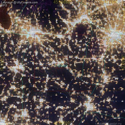
» Earth at Night: Flat Maps 2012, 2016