Bovolone night lights from space
Night Light of Bovolone (Veneto) from space (Italy) Src. Average luminocity for 10x10km area is 40.347% and for 50x50km: 36.904%.
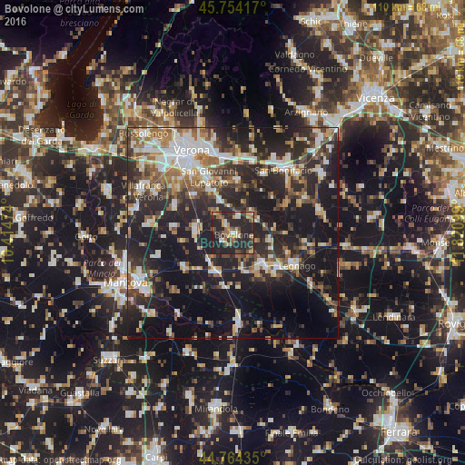
Analysis of Bovolone night lights 2016
Square area 10x10 km:
 2.73%
2.73%90-99
3.79%80-89
3.94%70-79
8.64%60-69
6.36%50-59
5.45%40-49
7.12%30-39
7.12%20-29
39.7%10-19
15.15%0-9
0%Square area 50x50 km:
5.55%90-99
6.87%80-89
3.34%70-79
3.55%60-69
4.76%50-59
5.47%40-49
5.87%30-39
6.17%20-29
16.2%10-19
26.55%0-9
15.67%Clear (daylight) street map image can be seen on geolist.org.
Map coordinates:
45° 45' 15" North, 10° 24' 53.1" East
45° 15' 41.1" North, 11° 7' 4.3" East
44° 45' 51.7" North, 11° 49' 15.6" East
Some cities around Bovolone sort by population:
• Legnago
16.3 km =10.1 mi,  117°
117°
• San Giovanni Lupatoto
14.6 km =9.1 mi,  336°
336°
• Cerea
11.1 km =6.9 mi,  136°
136°
• Zevio
12.3 km =7.6 mi,  4°
4°
• Beccacivetta-Azzano
17.5 km =10.9 mi,  315°
315°
• Isola della Scala
8.6 km =5.3 mi,  275°
275°
• Nogara
10 km =6.2 mi,  206°
206°
• Vigasio
15 km =9.3 mi,  294°
294°
3181637 (p: 14,036)
Sources (retrieved 2019-11-25):
» Earth at Night: Flat Maps 2012, 2016