Garbagnate Milanese night lights from space
Night Light of Garbagnate Milanese (Lombardy) from space (Italy) Src. Average luminocity for 10x10km area is 96.6273% and for 50x50km: 77.0032%.
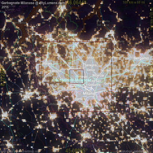
Analysis of Garbagnate Milanese night lights 2016
Square area 10x10 km:
 50.61%
90-99
37.42%80-89
5.3%70-79
6.67%60-69
0%50-59
0%40-49
0%30-39
0%20-29
0%10-19
0%0-9
0%Square area 50x50 km:
29.47%90-99
19.88%80-89
7.57%70-79
8.73%60-69
9.46%50-59
6.22%40-49
5.56%30-39
5.56%20-29
3.99%10-19
3.22%0-9
0.34%Clear (daylight) street map image can be seen on geolist.org.
Map coordinates:
46° 3' 51.8" North, 8° 22' 20.1" East
45° 34' 27.8" North, 9° 4' 31.3" East
45° 4' 48.2" North, 9° 46' 42.6" East
Some cities around Garbagnate Milanese sort by population:
• Bollate
4.7 km =2.9 mi,  131°
131°
• Limbiate
4.8 km =3 mi,  54°
54°
• Lainate
3.8 km =2.4 mi,  265°
265°
• Senago
4 km =2.5 mi,  88°
88°
• Arese
2.7 km =1.7 mi,  176°
176°
• Caronno Pertusella
3.4 km =2.1 mi,  319°
319°
• Cesate
2.4 km =1.5 mi,  0°
0°
• Solaro
4.5 km =2.8 mi,  7°
7°
3176322 (p: 25,974)
Sources (retrieved 2019-11-25):
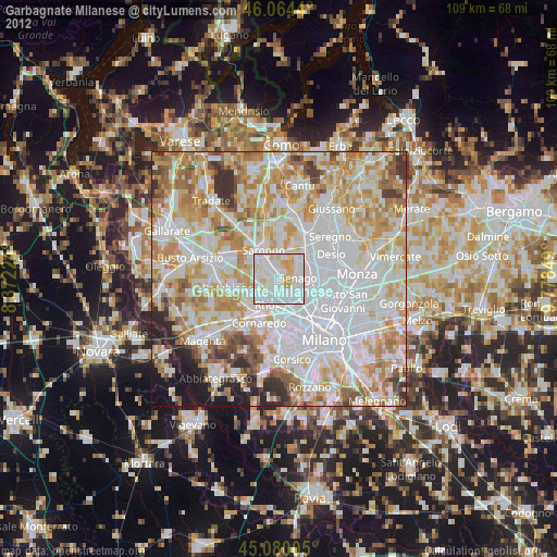
» Earth at Night: Flat Maps 2012, 2016