Lainate night lights from space
Night Light of Lainate (Lombardy) from space (Italy) Src. Average luminocity for 10x10km area is 94.05% and for 50x50km: 75.1603%.
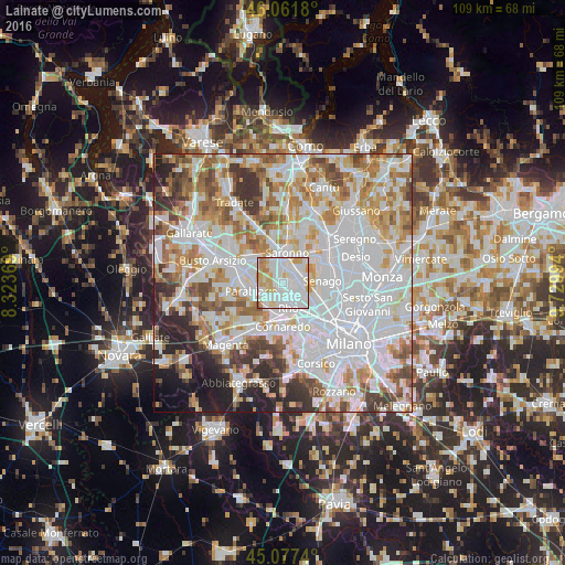
Analysis of Lainate night lights 2016
Square area 10x10 km:
 42.88%
90-99
35.15%80-89
9.24%70-79
9.09%60-69
2.88%50-59
0.76%40-49
0%30-39
0%20-29
0%10-19
0%0-9
0%Square area 50x50 km:
28.78%90-99
19.06%80-89
7.34%70-79
8.3%60-69
9.24%50-59
6.1%40-49
5.47%30-39
5.19%20-29
5.68%10-19
3.87%0-9
0.97%Clear (daylight) street map image can be seen on geolist.org.
Map coordinates:
46° 3' 42.5" North, 8° 19' 25.3" East
45° 34' 18.3" North, 9° 1' 36.5" East
45° 4' 38.6" North, 9° 43' 47.8" East
Some cities around Lainate sort by population:
• Rho
4.5 km =2.8 mi,  166°
166°
• Garbagnate Milanese
3.8 km =2.4 mi,  85°
85°
• Arese
4.6 km =2.9 mi,  120°
120°
• Nerviano
4.2 km =2.6 mi,  241°
241°
• Caronno Pertusella
3.3 km =2.1 mi,  27°
27°
• Cesate
4.7 km =2.9 mi,  54°
54°
• Pogliano Milanese
4.6 km =2.9 mi,  214°
214°
• Origgio
2.9 km =1.8 mi,  343°
343°
3175238 (p: 25,011)
Sources (retrieved 2019-11-25):
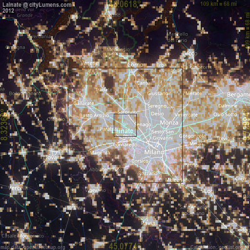
» Earth at Night: Flat Maps 2012, 2016