Senago night lights from space
Night Light of Senago (Lombardy) from space (Italy) Src. Average luminocity for 10x10km area is 97.1939% and for 50x50km: 78.3715%.
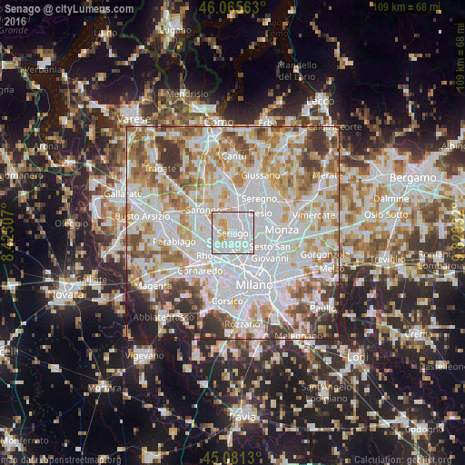
Analysis of Senago night lights 2016
Square area 10x10 km:
 65.15%
90-99
24.55%80-89
4.55%70-79
5.76%60-69
0%50-59
0%40-49
0%30-39
0%20-29
0%10-19
0%0-9
0%Square area 50x50 km:
30.15%90-99
20.48%80-89
7.74%70-79
8.88%60-69
9.54%50-59
6.42%40-49
5.36%30-39
5.81%20-29
3.31%10-19
2.3%0-9
0.01%Clear (daylight) street map image can be seen on geolist.org.
Map coordinates:
46° 3' 56.3" North, 8° 25' 23.1" East
45° 34' 32.2" North, 9° 7' 34.3" East
45° 4' 52.7" North, 9° 49' 45.6" East
Some cities around Senago sort by population:
• Paderno Dugnano
3.1 km =1.9 mi,  103°
103°
• Bollate
3.3 km =2.1 mi,  187°
187°
• Limbiate
2.7 km =1.7 mi,  358°
358°
• Garbagnate Milanese
4 km =2.5 mi,  268°
268°
• Cormano
3.9 km =2.4 mi,  138°
138°
• Bovisio-Masciago
4.4 km =2.7 mi,  28°
28°
• Cesate
4.5 km =2.8 mi,  299°
299°
• Varedo
3.8 km =2.4 mi,  49°
49°
3166753 (p: 20,620)
Sources (retrieved 2019-11-25):
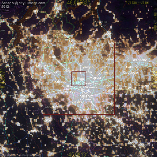
» Earth at Night: Flat Maps 2012, 2016