Limbiate night lights from space
Night Light of Limbiate (Lombardy) from space (Italy) Src. Average luminocity for 10x10km area is 96.1742% and for 50x50km: 79.1804%.
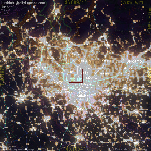
Analysis of Limbiate night lights 2016
Square area 10x10 km:
 61.97%
90-99
23.03%80-89
6.67%70-79
8.33%60-69
0%50-59
0%40-49
0%30-39
0%20-29
0%10-19
0%0-9
0%Square area 50x50 km:
30.36%90-99
20.96%80-89
7.77%70-79
8.93%60-69
9.62%50-59
6.79%40-49
5.55%30-39
5.71%20-29
2.86%10-19
1.45%0-9
0.01%Clear (daylight) street map image can be seen on geolist.org.
Map coordinates:
46° 5' 21.5" North, 8° 25' 19.1" East
45° 35' 58.2" North, 9° 7' 30.3" East
45° 6' 19.4" North, 9° 49' 41.6" East
Some cities around Limbiate sort by population:
• Paderno Dugnano
4.6 km =2.9 mi,  137°
137°
• Cesano Maderno
3.9 km =2.4 mi,  32°
32°
• Garbagnate Milanese
4.8 km =3 mi,  234°
234°
• Senago
2.7 km =1.7 mi,  178°
178°
• Bovisio-Masciago
2.5 km =1.6 mi,  61°
61°
• Cesate
3.9 km =2.4 mi,  263°
263°
• Varedo
3 km =1.9 mi,  94°
94°
• Solaro
3.7 km =2.3 mi,  296°
296°
3174719 (p: 32,062)
Sources (retrieved 2019-11-25):
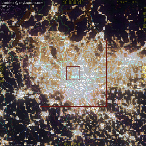
» Earth at Night: Flat Maps 2012, 2016