Gaeta night lights from space
Night Light of Gaeta (Latium) from space (Italy) Src. Average luminocity for 10x10km area is 23.5373% and for 50x50km: 8.8817%.
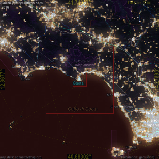
Analysis of Gaeta night lights 2016
Square area 10x10 km:
 3.9%
3.9%90-99
5.52%80-89
1.46%70-79
1.46%60-69
2.92%50-59
2.76%40-49
3.08%30-39
0%20-29
1.79%10-19
34.58%0-9
42.53%Square area 50x50 km:
0.46%90-99
1.49%80-89
0.82%70-79
0.73%60-69
0.95%50-59
1.65%40-49
1.38%30-39
1.22%20-29
1.94%10-19
11.95%0-9
77.4%Clear (daylight) street map image can be seen on geolist.org.
Map coordinates:
41° 44' 27.1" North, 12° 52' 3.7" East
41° 12' 50.7" North, 13° 34' 15" East
40° 40' 58.9" North, 14° 16' 26.2" East
Some cities around Gaeta sort by population:
• Terracina
28.7 km =17.8 mi,  287°
287°
• Formia
5.7 km =3.5 mi,  34°
34°
• Fondi
20 km =12.4 mi,  323°
323°
• Mondragone
29.1 km =18.1 mi,  112°
112°
• Minturno
15.6 km =9.7 mi,  69°
69°
• Itri
9.1 km =5.7 mi,  338°
338°
• Pontecorvo
28.3 km =17.6 mi,  16°
16°
• Cellole
23.7 km =14.7 mi,  92°
92°
3176438 (p: 19,936)
Sources (retrieved 2019-11-25):
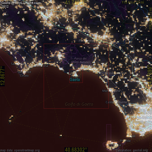
» Earth at Night: Flat Maps 2012, 2016