Terracina night lights from space
Night Light of Terracina (Latium) from space (Italy) Src. Average luminocity for 10x10km area is 20.9886% and for 50x50km: 8.9425%.
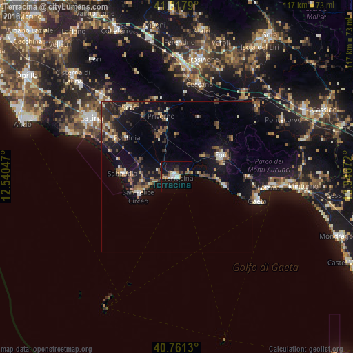
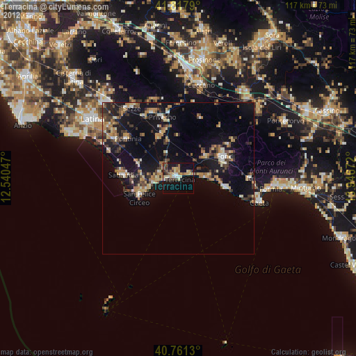
Analysis of Terracina night lights 2016
Square area 10x10 km:
 3.41%
3.41%90-99
3.73%80-89
1.3%70-79
3.25%60-69
1.62%50-59
2.27%40-49
1.95%30-39
1.95%20-29
1.79%10-19
26.46%0-9
52.27%Square area 50x50 km:
0.53%90-99
1.11%80-89
0.67%70-79
0.97%60-69
1.11%50-59
1.53%40-49
1.77%30-39
1.72%20-29
2.26%10-19
9.12%0-9
79.21%Clear (daylight) street map image can be seen on geolist.org.
Map coordinates:
41° 49' 4.4" North, 12° 32' 25.7" East
41° 17' 30.3" North, 13° 14' 36.9" East
40° 45' 40.7" North, 13° 56' 48.2" East
Some cities around Terracina sort by population:
• Fondi
17 km =10.6 mi,  64°
64°
• Gaeta
28.7 km =17.8 mi,  107°
107°
• Sezze
27.7 km =17.2 mi,  326°
326°
• Priverno
20.6 km =12.8 mi,  344°
344°
• Sabaudia
18 km =11.2 mi,  273°
273°
• Itri
23.9 km =14.9 mi,  90°
90°
• San Felice Circeo
13.9 km =8.6 mi,  244°
244°
• Pontinia
21.4 km =13.3 mi,  308°
308°
3165762 (p: 30,980)
Sources (retrieved 2019-11-25):
» Earth at Night: Flat Maps 2012, 2016