Castel Maggiore night lights from space
Night Light of Castel Maggiore (Emilia-Romagna) from space (Italy) Src. Average luminocity for 10x10km area is 58.9636% and for 50x50km: 27.5674%.
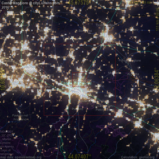
Analysis of Castel Maggiore night lights 2016
Square area 10x10 km:
 11.67%
90-99
13.64%80-89
3.94%70-79
5.76%60-69
9.24%50-59
9.55%40-49
11.36%30-39
17.58%20-29
15.15%10-19
2.12%0-9
0%Square area 50x50 km:
4.55%90-99
5.61%80-89
2.28%70-79
2.39%60-69
2.61%50-59
2.94%40-49
3.42%30-39
4.06%20-29
8.92%10-19
29.33%0-9
33.88%Clear (daylight) street map image can be seen on geolist.org.
Map coordinates:
45° 4' 32.7" North, 10° 39' 27.3" East
44° 34' 37.5" North, 11° 21' 38.6" East
44° 4' 26.7" North, 12° 3' 49.8" East
Some cities around Castel Maggiore sort by population:
• Bologna
9.4 km =5.8 mi,  190°
190°
• Casalecchio di Reno
13.2 km =8.2 mi,  211°
211°
• San Lazzaro
12.4 km =7.7 mi,  162°
162°
• Progresso
0.9 km =0.6 mi, 163°
• Anzola dell'Emilia
12.9 km =8 mi,  252°
252°
• Calderara di Reno
7.3 km =4.5 mi,  257°
257°
• San Giorgio di Piano
7.9 km =4.9 mi,  7°
7°
• Granarolo dell'Emilia e Viadagola
7 km =4.3 mi,  112°
112°
3179560 (p: 16,068)
Sources (retrieved 2019-11-25):
» Earth at Night: Flat Maps 2012, 2016