San Lazzaro night lights from space
Night Light of San Lazzaro (Emilia-Romagna) from space (Italy) Src. Average luminocity for 10x10km area is 69.9794% and for 50x50km: 23.7995%.
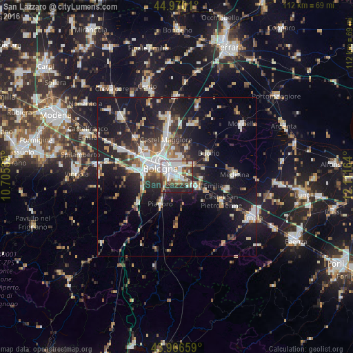
Analysis of San Lazzaro night lights 2016
Square area 10x10 km:
 23.81%
90-99
22.06%80-89
4.76%70-79
4.6%60-69
4.29%50-59
7.78%40-49
7.62%30-39
7.46%20-29
16.83%10-19
0.79%0-9
0%Square area 50x50 km:
4.34%90-99
5.05%80-89
1.75%70-79
1.97%60-69
2.49%50-59
2.65%40-49
2.87%30-39
3.7%20-29
7.4%10-19
21.34%0-9
46.44%Clear (daylight) street map image can be seen on geolist.org.
Map coordinates:
44° 58' 12.4" North, 10° 42' 19.4" East
44° 28' 13.8" North, 11° 24' 30.6" East
43° 57' 59.7" North, 12° 6' 41.9" East
Some cities around San Lazzaro sort by population:
• Bologna
6.1 km =3.8 mi,  295°
295°
• Casalecchio di Reno
10.6 km =6.6 mi,  273°
273°
• Progresso
11.5 km =7.1 mi,  342°
342°
• Castenaso
6.8 km =4.2 mi,  44°
44°
• Ozzano dell'Emilia
6.1 km =3.8 mi,  118°
118°
• Pianoro
10.5 km =6.5 mi,  209°
209°
• Granarolo dell'Emilia e Viadagola
9.6 km =6 mi,  16°
16°
• Rastignano-Carteria di Sesto
5.6 km =3.5 mi,  227°
227°
3168175 (p: 22,350)
Sources (retrieved 2019-11-25):
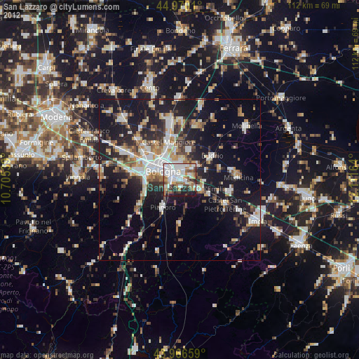
» Earth at Night: Flat Maps 2012, 2016