Alvand night lights from space
Night Light of Alvand (Qazvīn) from space (Iran) Src. Average luminocity for 10x10km area is 49.0909% and for 50x50km: 17.8765%.
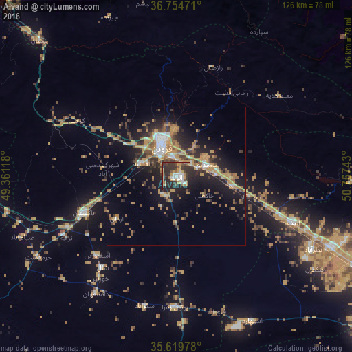
Analysis of Alvand night lights 2016
Square area 10x10 km:
 5.77%
5.77%90-99
7.87%80-89
3.15%70-79
14.86%60-69
3.5%50-59
5.07%40-49
5.42%30-39
20.98%20-29
26.22%10-19
7.17%0-9
0%Square area 50x50 km:
1.64%90-99
1.54%80-89
0.82%70-79
5.94%60-69
2.34%50-59
2.7%40-49
2.43%30-39
3.33%20-29
5.8%10-19
11.84%0-9
61.62%Clear (daylight) street map image can be seen on geolist.org.
Map coordinates:
36° 45' 17" North, 49° 21' 40.2" East
36° 11' 21.5" North, 50° 3' 51.5" East
35° 37' 11.2" North, 50° 46' 2.7" East
Some cities around Alvand sort by population:
• Karaj
92.3 km =57.4 mi,  115°
115°
• Qazvin
10.4 km =6.5 mi,  328°
328°
• Naz̧arābād
55.3 km =34.4 mi, 118°
• Tākestān
35.6 km =22.1 mi,  248°
248°
• Abhar
76.1 km =47.3 mi,  266°
266°
• Ābyek
45.7 km =28.4 mi,  107°
107°
• Khorramdarreh
78 km =48.5 mi, 271°
• Pādegān-e Manjīl
84.4 km =52.4 mi,  316°
316°
10570 (p: 90,000)
Sources (retrieved 2019-11-25):
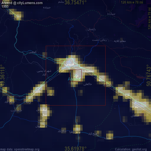
» NASA, Earths city lights 1995
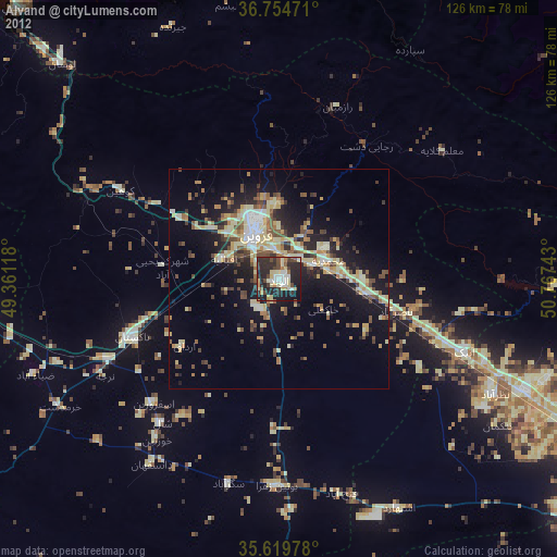
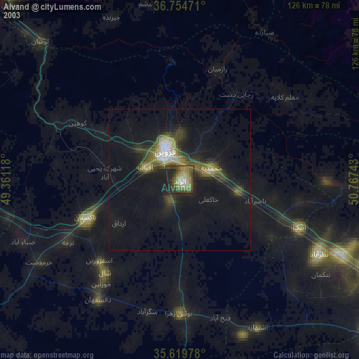
» NASA city lights 2003
» Earth at Night: Flat Maps 2012, 2016