Naz̧arābād night lights from space
Night Light of Naz̧arābād (Alborz) from space (Iran) Src. Average luminocity for 10x10km area is 64.5897% and for 50x50km: 25.6668%.
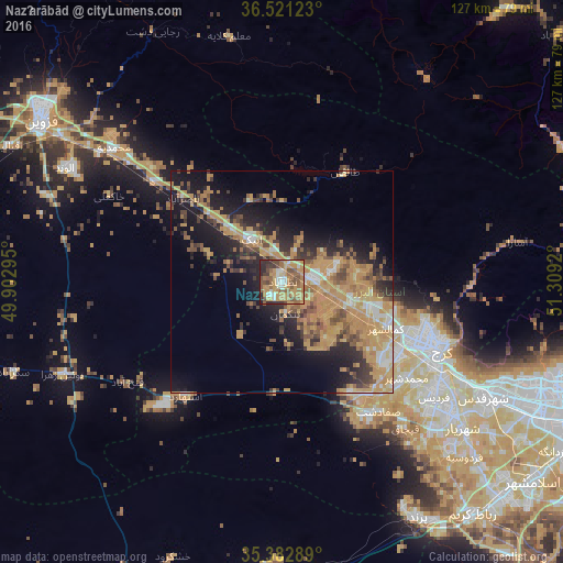

Analysis of Naz̧arābād night lights 2016
Square area 10x10 km:
 5.49%
5.49%90-99
7.14%80-89
5.68%70-79
29.67%60-69
12.45%50-59
17.03%40-49
9.34%30-39
5.86%20-29
6.41%10-19
0.92%0-9
0%Square area 50x50 km:
1.5%90-99
2.25%80-89
2.09%70-79
11.05%60-69
5.16%50-59
3.79%40-49
3.42%30-39
3.24%20-29
5.77%10-19
12.79%0-9
48.93%Clear (daylight) street map image can be seen on geolist.org.
Map coordinates:
36° 31' 16.4" North, 49° 54' 10.6" East
35° 57' 14.8" North, 50° 36' 21.9" East
35° 22' 58.4" North, 51° 18' 33.1" East
Some cities around Naz̧arābād sort by population:
• Karaj
37.3 km =23.2 mi,  111°
111°
• Qazvin
64.4 km =40 mi,  302°
302°
• Alvand
55.3 km =34.4 mi, 298°
• Shahre Jadide Andisheh
48.1 km =29.9 mi,  129°
129°
• Robāţ Karīm
67.7 km =42.1 mi,  140°
140°
• Shahrīār
52.3 km =32.5 mi, 128°
• Malārd
46.3 km =28.8 mi, 133°
• Ābyek
13.5 km =8.4 mi,  338°
338°
122438 (p: 213,388)
Sources (retrieved 2019-11-25):
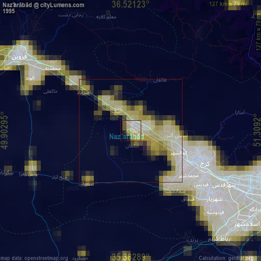
» NASA, Earths city lights 1995
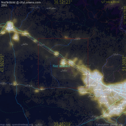
» NASA city lights 2003
» Earth at Night: Flat Maps 2012, 2016