Shūshtar night lights from space
Night Light of Shūshtar (Khuzestan) from space (Iran) Src. Average luminocity for 10x10km area is 60.2378% and for 50x50km: 15.2523%.
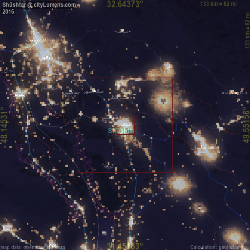
Analysis of Shūshtar night lights 2016
Square area 10x10 km:
 14.51%
90-99
14.86%80-89
6.12%70-79
5.42%60-69
10.84%50-59
5.07%40-49
6.29%30-39
11.01%20-29
19.41%10-19
6.29%0-9
0.17%Square area 50x50 km:
1.1%90-99
1.49%80-89
1.37%70-79
1.99%60-69
3.62%50-59
2.82%40-49
2.4%30-39
4.07%20-29
4.73%10-19
9.18%0-9
67.23%Clear (daylight) street map image can be seen on geolist.org.
Map coordinates:
32° 38' 37.4" North, 48° 8' 43.1" East
32° 2' 59" North, 48° 50' 54.3" East
31° 27' 6.6" North, 49° 33' 5.6" East
Some cities around Shūshtar sort by population:
• Ahvaz
82.7 km =51.4 mi,  190°
190°
• Al ‘Amārah, IQ
162.5 km =101 mi,  261°
261°
• Masjed Soleymān
44.8 km =27.8 mi,  106°
106°
• Sūsangerd
82.5 km =51.3 mi,  229°
229°
• Rāmhormoz
111.5 km =69.3 mi,  140°
140°
• Shādegān
156.7 km =97.4 mi, 186°
• Rāmshīr
139.1 km =86.4 mi,  157°
157°
• Fareydūnshahr
155.1 km =96.4 mi,  50°
50°
114584 (p: 77,507)
Sources (retrieved 2019-11-25):
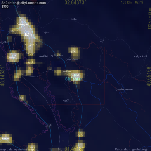
» NASA, Earths city lights 1995
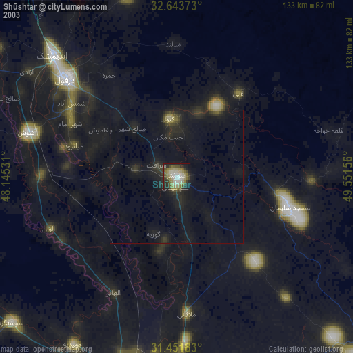
» NASA city lights 2003
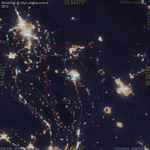
» Earth at Night: Flat Maps 2012, 2016