Shādegān night lights from space
Night Light of Shādegān (Khuzestan) from space (Iran) Src. Average luminocity for 10x10km area is 62.3252% and for 50x50km: 7.5915%.
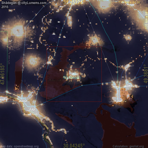
Analysis of Shādegān night lights 2016
Square area 10x10 km:
 10.49%
90-99
11.71%80-89
4.2%70-79
9.09%60-69
22.73%50-59
9.79%40-49
7.17%30-39
12.24%20-29
8.22%10-19
4.37%0-9
0%Square area 50x50 km:
0.65%90-99
0.79%80-89
0.29%70-79
0.98%60-69
2.3%50-59
1.2%40-49
0.99%30-39
1.51%20-29
1.95%10-19
6.08%0-9
83.27%Clear (daylight) street map image can be seen on geolist.org.
Map coordinates:
31° 15' 8.1" North, 47° 57' 42.7" East
30° 38' 57.3" North, 48° 39' 53.9" East
30° 2' 32.8" North, 49° 22' 5.2" East
Some cities around Shādegān sort by population:
• Basrah, IQ
86.1 km =53.5 mi,  259°
259°
• Al Başrah al Qadīmah, IQ
83 km =51.6 mi, 258°
• Ahvaz
74.5 km =46.3 mi,  1°
1°
• Abadan
48.8 km =30.3 mi,  225°
225°
• Khorramshahr
51.5 km =32 mi,  243°
243°
• Al Fāw, IQ
77.3 km =48 mi,  193°
193°
• Al Hārithah, IQ
86.8 km =53.9 mi,  265°
265°
• Rāmshīr
76 km =47.2 mi,  69°
69°
116102 (p: 37,220)
Sources (retrieved 2019-11-25):
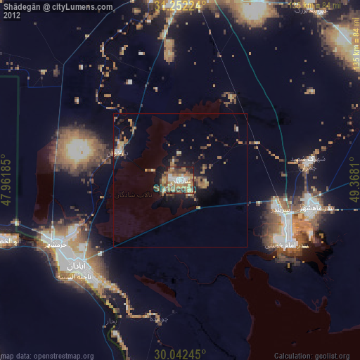
» Earth at Night: Flat Maps 2012, 2016