Masjed Soleymān night lights from space
Night Light of Masjed Soleymān (Khuzestan) from space (Iran) Src. Average luminocity for 10x10km area is 70.7517% and for 50x50km: 13.5265%.
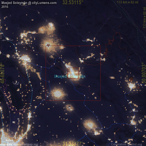
Analysis of Masjed Soleymān night lights 2016
Square area 10x10 km:
 16.43%
90-99
15.56%80-89
9.27%70-79
13.64%60-69
15.56%50-59
4.9%40-49
8.04%30-39
8.74%20-29
5.77%10-19
2.1%0-9
0%Square area 50x50 km:
1.12%90-99
1.92%80-89
1.34%70-79
1.74%60-69
2.65%50-59
2.07%40-49
2.48%30-39
3.14%20-29
3.86%10-19
7.64%0-9
72.05%Clear (daylight) street map image can be seen on geolist.org.
Map coordinates:
32° 31' 52.1" North, 48° 36' 2.8" East
31° 56' 11" North, 49° 18' 14" East
31° 20' 16" North, 50° 0' 25.3" East
Some cities around Masjed Soleymān sort by population:
• Ahvaz
90.3 km =56.1 mi,  220°
220°
• Shūshtar
44.8 km =27.8 mi,  286°
286°
• Shūsh
103.9 km =64.6 mi, 286°
• Sūsangerd
113.2 km =70.3 mi,  248°
248°
• Rāmhormoz
78.3 km =48.7 mi,  158°
158°
• Fārsān
123.7 km =76.9 mi,  73°
73°
• Rāmshīr
116.4 km =72.3 mi,  175°
175°
• Fareydūnshahr
135.5 km =84.2 mi,  34°
34°
124620 (p: 111,510)
Sources (retrieved 2019-11-25):
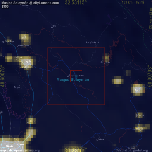
» NASA, Earths city lights 1995
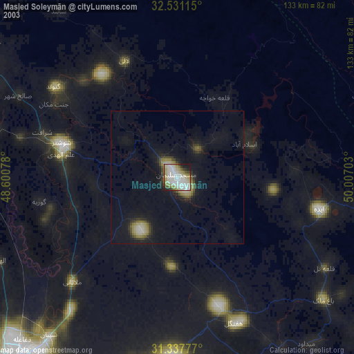
» NASA city lights 2003
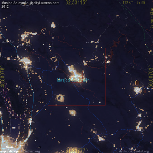
» Earth at Night: Flat Maps 2012, 2016