Pārsābād night lights from space
Night Light of Pārsābād (Ardabīl) from space (Iran) Src. Average luminocity for 10x10km area is 26.7386% and for 50x50km: 3.3796%.
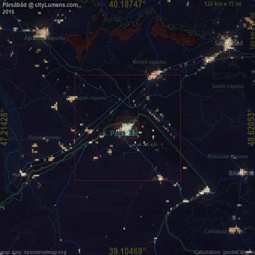
Analysis of Pārsābād night lights 2016
Square area 10x10 km:
 5.19%
5.19%90-99
3.41%80-89
3.73%70-79
2.6%60-69
2.27%50-59
3.41%40-49
3.25%30-39
3.25%20-29
1.95%10-19
34.74%0-9
36.2%Square area 50x50 km:
0.23%90-99
0.21%80-89
0.48%70-79
0.38%60-69
0.58%50-59
0.54%40-49
0.58%30-39
0.79%20-29
0.6%10-19
1.98%0-9
93.63%Clear (daylight) street map image can be seen on geolist.org.
Map coordinates:
40° 11' 14.9" North, 47° 12' 51.4" East
39° 38' 53.5" North, 47° 55' 2.6" East
39° 6' 16.9" North, 48° 37' 13.9" East
Some cities around Pārsābād sort by population:
• Saatlı, AZ
49.8 km =30.9 mi,  50°
50°
• Imishli, AZ
27.6 km =17.1 mi,  26°
26°
• Pushkino, AZ
57.8 km =35.9 mi,  111°
111°
• Əhmədbəyli, AZ
48.1 km =29.9 mi,  57°
57°
• Beylagan, AZ
29.2 km =18.1 mi,  298°
298°
• Bīleh Savār
47.9 km =29.8 mi,  128°
128°
• Dünyamalılar, AZ
19.4 km =12.1 mi,  315°
315°
• Avşar, AZ
55.6 km =34.5 mi,  310°
310°
121380 (p: 101,661)
Sources (retrieved 2019-11-25):
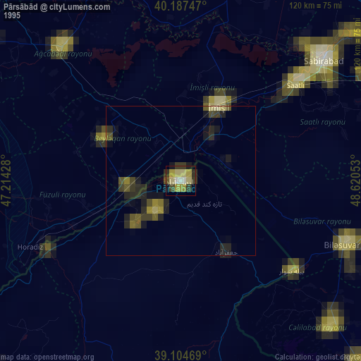
» NASA, Earths city lights 1995
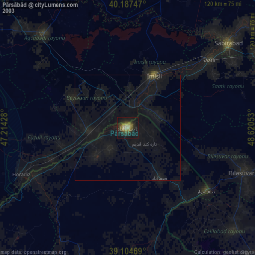
» NASA city lights 2003
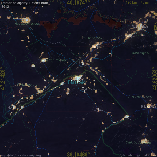
» Earth at Night: Flat Maps 2012, 2016