Dünyamalılar night lights from space
Night Light of Dünyamalılar (Beyləqan) from space (Azerbaijan) Src. Average luminocity for 10x10km area is 0.0918% and for 50x50km: 3.29%.
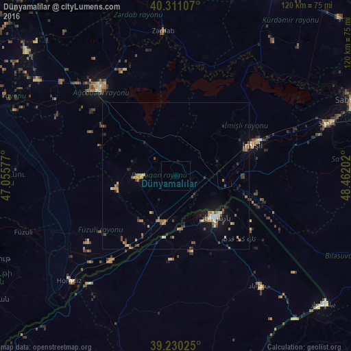
Analysis of Dünyamalılar night lights 2016
Square area 10x10 km:
 0%
0%90-99
0%80-89
0%70-79
0%60-69
0%50-59
0%40-49
0%30-39
0%20-29
0.34%10-19
0%0-9
99.66%Square area 50x50 km:
0.21%90-99
0.23%80-89
0.37%70-79
0.55%60-69
0.61%50-59
0.44%40-49
0.53%30-39
0.61%20-29
0.62%10-19
1.78%0-9
94.02%Clear (daylight) street map image can be seen on geolist.org.
Map coordinates:
40° 18' 39.9" North, 47° 3' 20.8" East
39° 46' 22" North, 47° 45' 32" East
39° 13' 48.9" North, 48° 27' 43.3" East
Some cities around Dünyamalılar sort by population:
• Pārsābād, IR
19.4 km =12.1 mi,  135°
135°
• Saatlı
55 km =34.2 mi,  71°
71°
• Agdzhabedy
40 km =24.9 mi,  320°
320°
• Imishli
27.9 km =17.3 mi, 66°
• Əhmədbəyli
55.3 km =34.4 mi,  77°
77°
• Beylagan
12 km =7.5 mi,  271°
271°
• Zardob
49.7 km =30.9 mi,  355°
355°
• Avşar
36.3 km =22.6 mi,  308°
308°
148177 (p: 5,968)
Sources (retrieved 2019-11-25):
» Earth at Night: Flat Maps 2012, 2016