Bīleh Savār night lights from space
Night Light of Bīleh Savār (Ardabīl) from space (Iran) Src. Average luminocity for 10x10km area is 12.4065% and for 50x50km: 2.0611%.
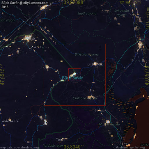
Analysis of Bīleh Savār night lights 2016
Square area 10x10 km:
 1.7%
1.7%90-99
2.72%80-89
2.38%70-79
1.19%60-69
1.53%50-59
0%40-49
2.04%30-39
0.68%20-29
0%10-19
0%0-9
87.76%Square area 50x50 km:
0.09%90-99
0.15%80-89
0.26%70-79
0.28%60-69
0.55%50-59
0.25%40-49
0.39%30-39
0.42%20-29
0.43%10-19
0.36%0-9
96.82%Clear (daylight) street map image can be seen on geolist.org.
Map coordinates:
39° 55' 15.5" North, 47° 39' 5.4" East
39° 22' 46.6" North, 48° 21' 16.7" East
38° 50' 2.4" North, 49° 3' 27.9" East
Some cities around Bīleh Savār sort by population:
• Pārsābād
47.9 km =29.8 mi,  308°
308°
• Jalilabad, AZ
22.3 km =13.9 mi,  148°
148°
• Pushkino, AZ
18.5 km =11.5 mi,  61°
61°
• Əhmədbəyli, AZ
55.8 km =34.7 mi,  3°
3°
• Prishibinskoye, AZ
35.5 km =22.1 mi,  144°
144°
• Masally, AZ
46.7 km =29 mi, 145°
• Boradigah, AZ
58.6 km =36.4 mi, 148°
• Yardımlı, AZ
53.4 km =33.2 mi,  190°
190°
140494 (p: 14,000)
Sources (retrieved 2019-11-25):
» Earth at Night: Flat Maps 2012, 2016