Karaj night lights from space
Night Light of Karaj (Alborz) from space (Iran) Src. Average luminocity for 10x10km area is 87.4318% and for 50x50km: 48.06%.

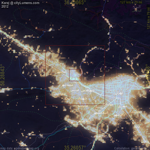
Analysis of Karaj night lights 2016
Square area 10x10 km:
 40.91%
90-99
23.78%80-89
11.01%70-79
8.57%60-69
4.9%50-59
3.5%40-49
1.92%30-39
1.92%20-29
3.5%10-19
0%0-9
0%Square area 50x50 km:
10.25%90-99
10.1%80-89
9.2%70-79
13.1%60-69
5.24%50-59
3.45%40-49
3.29%30-39
2.54%20-29
5.26%10-19
7.01%0-9
30.56%Clear (daylight) street map image can be seen on geolist.org.
Map coordinates:
36° 24' 2.3" North, 50° 17' 18.3" East
35° 49' 57.6" North, 50° 59' 29.6" East
35° 15' 38.1" North, 51° 41' 40.8" East
Some cities around Karaj sort by population:
• Tehran
41.7 km =25.9 mi,  111°
111°
• Naz̧arābād
37.3 km =23.2 mi,  291°
291°
• Shahre Jadide Andisheh
17.1 km =10.6 mi,  171°
171°
• Robāţ Karīm
39.6 km =24.6 mi, 167°
• Shahrīār
20.2 km =12.6 mi,  162°
162°
• Malārd
18.6 km =11.6 mi,  184°
184°
• Ābyek
47.5 km =29.5 mi,  303°
303°
• Shahrak-e Emām Ḩasan
49.9 km =31 mi,  140°
140°
128747 (p: 1,448,075)
Sources (retrieved 2019-11-25):
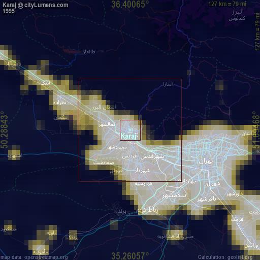
» NASA, Earths city lights 1995
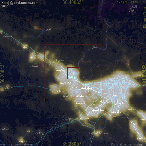
» NASA city lights 2003
» Earth at Night: Flat Maps 2012, 2016