Mīnāb night lights from space
Night Light of Mīnāb (Hormozgan) from space (Iran) Src. Average luminocity for 10x10km area is 61.2689% and for 50x50km: 9.9835%.
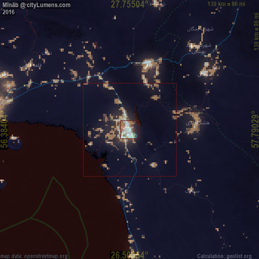
Analysis of Mīnāb night lights 2016
Square area 10x10 km:
 14.58%
90-99
17.99%80-89
1.52%70-79
4.92%60-69
17.99%50-59
8.71%40-49
3.79%30-39
6.06%20-29
7.95%10-19
15.34%0-9
1.14%Square area 50x50 km:
0.9%90-99
1.15%80-89
0.39%70-79
0.67%60-69
3.65%50-59
2.03%40-49
1.04%30-39
1.81%20-29
3.01%10-19
6.33%0-9
79.04%Clear (daylight) street map image can be seen on geolist.org.
Map coordinates:
27° 45' 18.1" North, 56° 23' 2.5" East
27° 7' 51.7" North, 57° 5' 13.8" East
26° 30' 12.7" North, 57° 47' 25" East
Some cities around Mīnāb sort by population:
• Bandar Abbas
80 km =49.7 mi,  274°
274°
• Ras Al Khaimah City, AE
187.7 km =116.6 mi,  217°
217°
• Khawr Fakkān, AE
213.5 km =132.7 mi,  200°
200°
• Dibba Al-Fujairah, AE
189.8 km =117.9 mi,  205°
205°
• Dibba Al-Hisn, AE
186.6 km =115.9 mi, 205°
• Qeshm
83.5 km =51.9 mi,  255°
255°
• Bandar-e Lengeh
228 km =141.7 mi,  253°
253°
• Khasab, OM
134.7 km =83.7 mi, 218°
123941 (p: 70,790)
Sources (retrieved 2019-11-25):
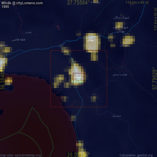
» NASA, Earths city lights 1995
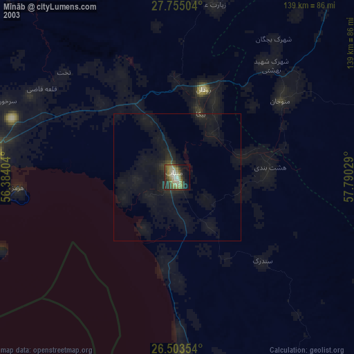
» NASA city lights 2003
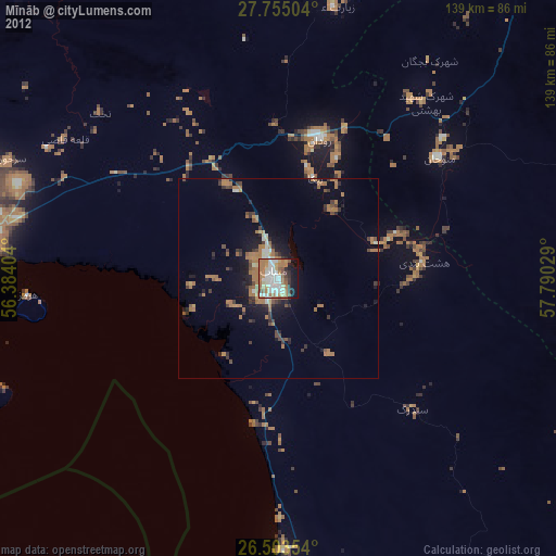
» Earth at Night: Flat Maps 2012, 2016