Tikrīt night lights from space
Night Light of Tikrīt (Salah ad Din) from space (Iraq) Src. Average luminocity for 10x10km area is 56.5874% and for 50x50km: 9.6766%.
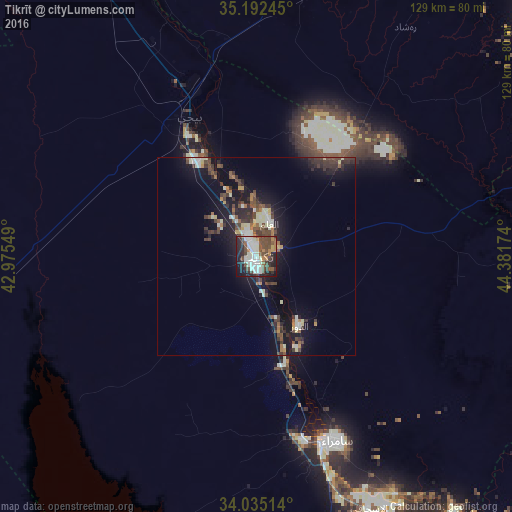
Analysis of Tikrīt night lights 2016
Square area 10x10 km:
 8.04%
8.04%90-99
21.85%80-89
2.45%70-79
2.8%60-69
5.42%50-59
8.22%40-49
17.66%30-39
6.12%20-29
16.96%10-19
9.97%0-9
0.52%Square area 50x50 km:
0.47%90-99
2.37%80-89
0.75%70-79
0.6%60-69
0.95%50-59
1.36%40-49
2.41%30-39
2.33%20-29
2.62%10-19
8.35%0-9
77.78%Clear (daylight) street map image can be seen on geolist.org.
Map coordinates:
35° 11' 32.8" North, 42° 58' 31.8" East
34° 36' 56.9" North, 43° 40' 43" East
34° 2' 6.5" North, 44° 22' 54.3" East
Some cities around Tikrīt sort by population:
• Kirkuk
114.9 km =71.4 mi,  34°
34°
• Sāmarrā’
50.4 km =31.3 mi,  157°
157°
• Khāliş
119.3 km =74.1 mi,  138°
138°
• Tozkhurmato
92.3 km =57.4 mi,  70°
70°
• Balad
79.4 km =49.3 mi,  147°
147°
• Bayjī
38.9 km =24.2 mi,  333°
333°
• Kifrī
117.5 km =73 mi,  85°
85°
• Ad Dujayl
99.6 km =61.9 mi, 149°
90150 (p: 42,477)
Sources (retrieved 2019-11-25):
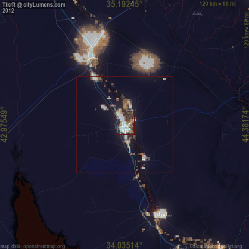
» Earth at Night: Flat Maps 2012, 2016