Kirkuk night lights from space
Night Light of Kirkuk from space (Iraq) Src. Average luminocity for 10x10km area is 96.5128% and for 50x50km: 38.8293%.
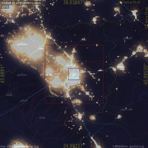

Analysis of Kirkuk night lights 2016
Square area 10x10 km:
 47.99%
90-99
40.48%80-89
10.07%70-79
0.37%60-69
1.1%50-59
0%40-49
0%30-39
0%20-29
0%10-19
0%0-9
0%Square area 50x50 km:
4.3%90-99
10.47%80-89
6.29%70-79
5.52%60-69
6.61%50-59
6.41%40-49
5.71%30-39
4.38%20-29
4.99%10-19
10.1%0-9
35.22%Clear (daylight) street map image can be seen on geolist.org.
Map coordinates:
36° 2' 19.2" North, 43° 41' 20.8" East
35° 28' 5" North, 44° 23' 32" East
34° 53' 36.1" North, 45° 5' 43.3" East
Some cities around Kirkuk sort by population:
• Erbil
86.6 km =53.8 mi,  336°
336°
• As Sulaymānīyah
94.8 km =58.9 mi,  83°
83°
• Jamjamāl
40.7 km =25.3 mi, 79°
• Tozkhurmato
68.1 km =42.3 mi,  161°
161°
• Koysinceq
71.6 km =44.5 mi,  17°
17°
• Tikrīt
114.9 km =71.4 mi,  214°
214°
• Bayjī
101.6 km =63.1 mi,  233°
233°
• Kifrī
100.8 km =62.6 mi,  149°
149°
94787 (p: 601,433)
Sources (retrieved 2019-11-25):
» NASA, Earths city lights 1995
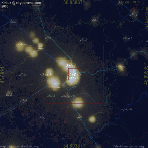
» NASA city lights 2003
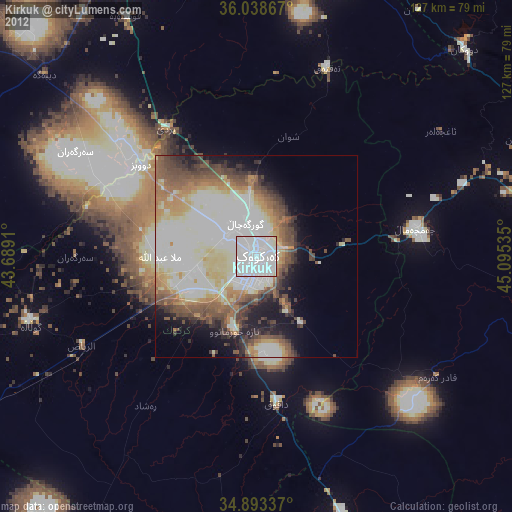
» Earth at Night: Flat Maps 2012, 2016