Khāliş night lights from space
Night Light of Khāliş (Diyālá) from space (Iraq) Src. Average luminocity for 10x10km area is 52.2308% and for 50x50km: 34.9765%.
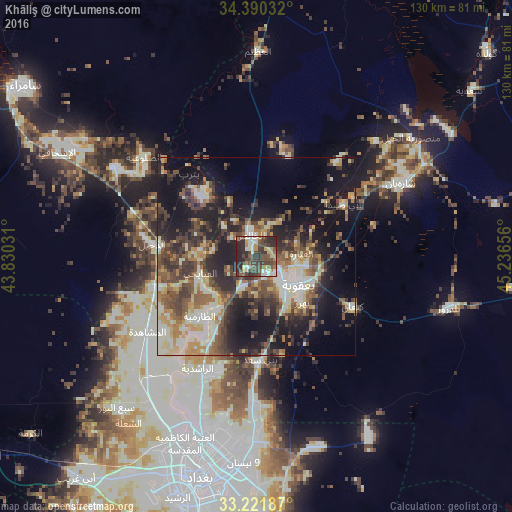
Analysis of Khāliş night lights 2016
Square area 10x10 km:
 1.92%
1.92%90-99
14.69%80-89
5.94%70-79
5.07%60-69
4.2%50-59
10.31%40-49
19.41%30-39
15.91%20-29
20.8%10-19
1.75%0-9
0%Square area 50x50 km:
1.8%90-99
9.5%80-89
3.78%70-79
3.79%60-69
4.52%50-59
5.71%40-49
7.86%30-39
7.73%20-29
9.85%10-19
19%0-9
26.47%Clear (daylight) street map image can be seen on geolist.org.
Map coordinates:
34° 23' 25.2" North, 43° 49' 49.1" East
33° 48' 29.1" North, 44° 32' 0.3" East
33° 13' 18.7" North, 45° 14' 11.6" East
Some cities around Khāliş sort by population:
• Baghdad
53.4 km =33.2 mi,  193°
193°
• Abū Ghurayb
64.5 km =40.1 mi,  210°
210°
• Al Fallūjah
86 km =53.4 mi,  233°
233°
• Sāmarrā’
73.7 km =45.8 mi,  305°
305°
• Baqubah
8.9 km =5.5 mi,  132°
132°
• Al Miqdādīyah
41.8 km =26 mi,  63°
63°
• Balad
42.5 km =26.4 mi,  302°
302°
• Ad Dujayl
27.9 km =17.3 mi,  278°
278°
99169 (p: 70,046)
Sources (retrieved 2019-11-25):
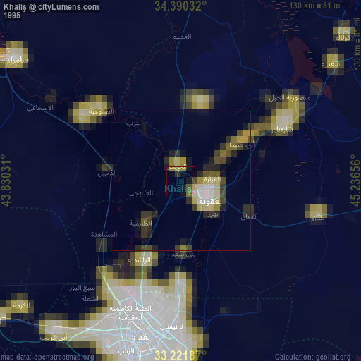
» NASA, Earths city lights 1995
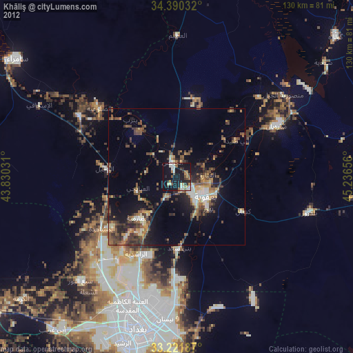
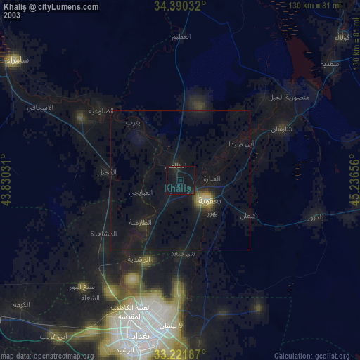
» NASA city lights 2003
» Earth at Night: Flat Maps 2012, 2016