Sāmarrā’ night lights from space
Night Light of Sāmarrā’ (Salah ad Din) from space (Iraq) Src. Average luminocity for 10x10km area is 57.4158% and for 50x50km: 12.8651%.
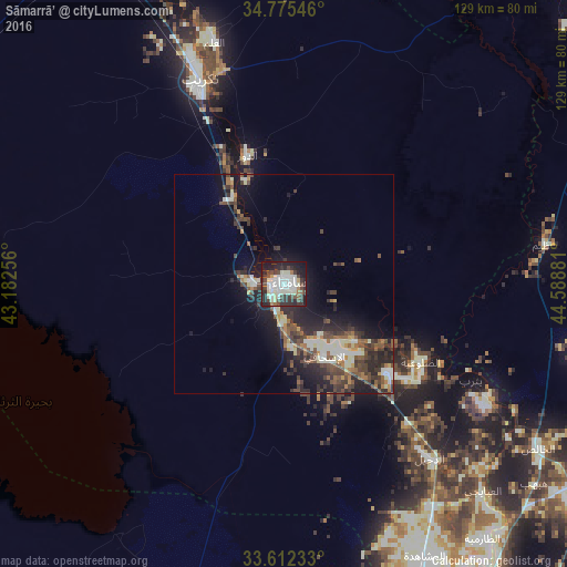
Analysis of Sāmarrā’ night lights 2016
Square area 10x10 km:
 13.19%
90-99
22.71%80-89
3.66%70-79
1.28%60-69
2.38%50-59
4.03%40-49
10.62%30-39
10.99%20-29
18.32%10-19
12.45%0-9
0.37%Square area 50x50 km:
1.19%90-99
3.06%80-89
0.87%70-79
0.88%60-69
1.37%50-59
1.97%40-49
2.9%30-39
3.31%20-29
5.03%10-19
8.02%0-9
71.42%Clear (daylight) street map image can be seen on geolist.org.
Map coordinates:
34° 46' 31.7" North, 43° 10' 57.2" East
34° 11' 45.2" North, 43° 53' 8.4" East
33° 36' 44.4" North, 44° 35' 19.7" East
Some cities around Sāmarrā’ sort by population:
• Al Fallūjah
94.6 km =58.8 mi,  185°
185°
• Baqubah
82.6 km =51.3 mi,  126°
126°
• Khāliş
73.7 km =45.8 mi, 125°
• Al Miqdādīyah
99.8 km =62 mi,  104°
104°
• Tikrīt
50.4 km =31.3 mi,  337°
337°
• Balad
31.3 km =19.4 mi, 130°
• Bayjī
89.3 km =55.5 mi, 335°
• Ad Dujayl
50.4 km =31.3 mi,  140°
140°
91597 (p: 158,508)
Sources (retrieved 2019-11-25):
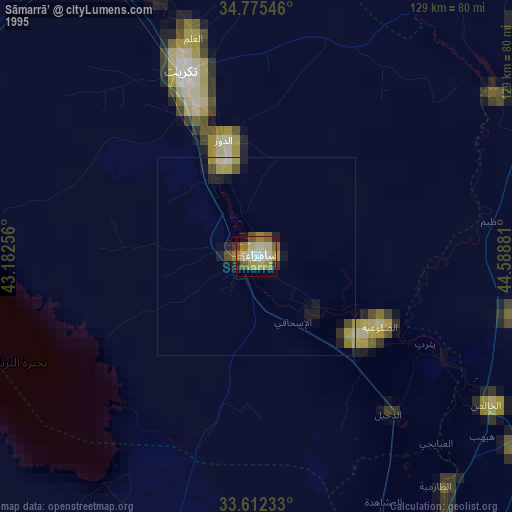
» NASA, Earths city lights 1995
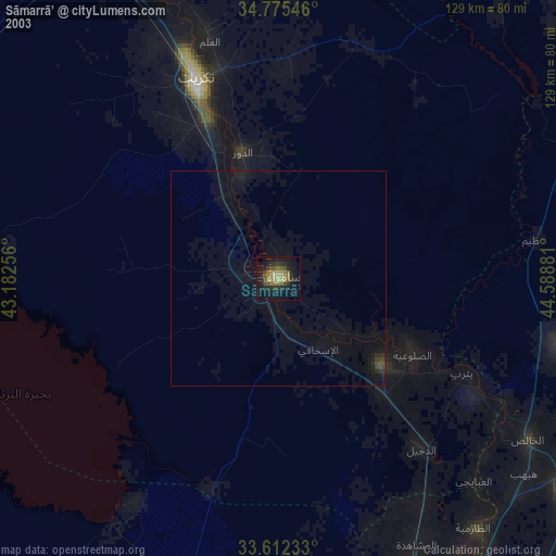
» NASA city lights 2003
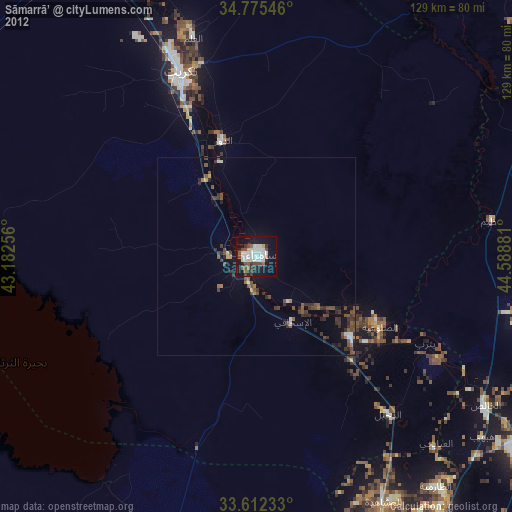
» Earth at Night: Flat Maps 2012, 2016