Ad Dujayl night lights from space
Night Light of Ad Dujayl (Salah ad Din) from space (Iraq) Src. Average luminocity for 10x10km area is 47.8601% and for 50x50km: 33.5766%.
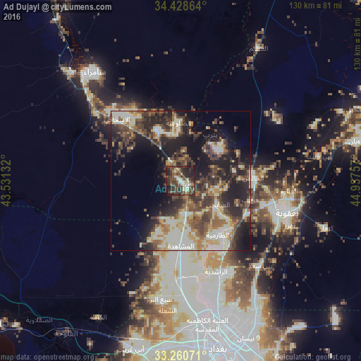
Analysis of Ad Dujayl night lights 2016
Square area 10x10 km:
 4.37%
4.37%90-99
8.39%80-89
4.9%70-79
2.8%60-69
4.9%50-59
9.62%40-49
16.43%30-39
22.73%20-29
19.76%10-19
5.94%0-9
0.17%Square area 50x50 km:
1.8%90-99
10.16%80-89
3.14%70-79
3.19%60-69
4.51%50-59
4.89%40-49
7.59%30-39
8.08%20-29
10.8%10-19
15.1%0-9
30.75%Clear (daylight) street map image can be seen on geolist.org.
Map coordinates:
34° 25' 43.1" North, 43° 31' 52.8" East
33° 50' 48" North, 44° 14' 4" East
33° 15' 38.6" North, 44° 56' 15.3" East
Some cities around Ad Dujayl sort by population:
• Baghdad
58.3 km =36.2 mi,  164°
164°
• Abū Ghurayb
60.3 km =37.5 mi,  184°
184°
• Al Fallūjah
69.2 km =43 mi,  216°
216°
• Sāmarrā’
50.4 km =31.3 mi,  320°
320°
• Baqubah
35.8 km =22.2 mi,  106°
106°
• Khāliş
27.9 km =17.3 mi,  98°
98°
• Al Miqdādīyah
66.5 km =41.3 mi,  77°
77°
• Balad
20.4 km =12.7 mi,  336°
336°
99759 (p: 26,362)
Sources (retrieved 2019-11-25):
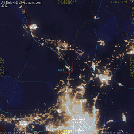
» Earth at Night: Flat Maps 2012, 2016