Zaxo night lights from space
Night Light of Zaxo (Dahūk) from space (Iraq) Src. Average luminocity for 10x10km area is 56.0476% and for 50x50km: 8.884%.
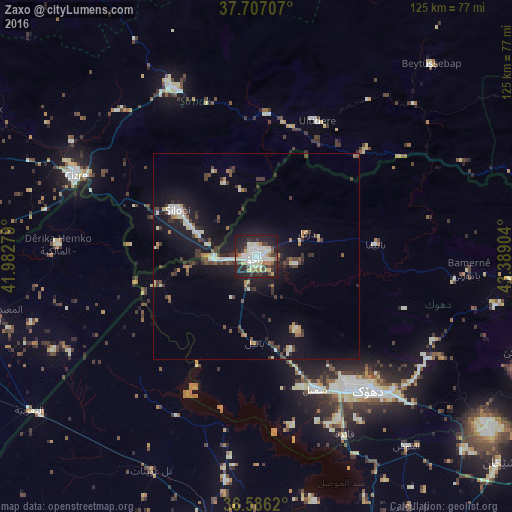
Analysis of Zaxo night lights 2016
Square area 10x10 km:
 12.41%
90-99
14.46%80-89
10.37%70-79
3.06%60-69
5.44%50-59
2.55%40-49
7.82%30-39
8.16%20-29
21.09%10-19
14.63%0-9
0%Square area 50x50 km:
0.93%90-99
1.58%80-89
1.01%70-79
0.61%60-69
0.81%50-59
0.69%40-49
1.48%30-39
2.26%20-29
2.1%10-19
8.44%0-9
80.09%Clear (daylight) street map image can be seen on geolist.org.
Map coordinates:
37° 42' 25.5" North, 41° 58' 58" East
37° 8' 55.4" North, 42° 41' 9.3" East
36° 35' 10.3" North, 43° 23' 20.5" East
Some cities around Zaxo sort by population:
• Dihok
41.3 km =25.7 mi,  139°
139°
• Sīnah
49.2 km =30.6 mi, 140°
• Cizre, TR
48.7 km =30.3 mi,  294°
294°
• Silopi, TR
22.4 km =13.9 mi,  298°
298°
• Şırnak, TR
45.5 km =28.3 mi,  333°
333°
• Batifa
29.1 km =18.1 mi,  84°
84°
• Uludere, TR
35.7 km =22.2 mi,  24°
24°
• Kumçatı, TR
49.8 km =30.9 mi,  315°
315°
89570 (p: 95,052)
Sources (retrieved 2019-11-25):
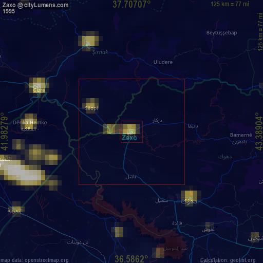
» NASA, Earths city lights 1995
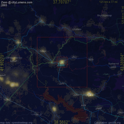
» NASA city lights 2003
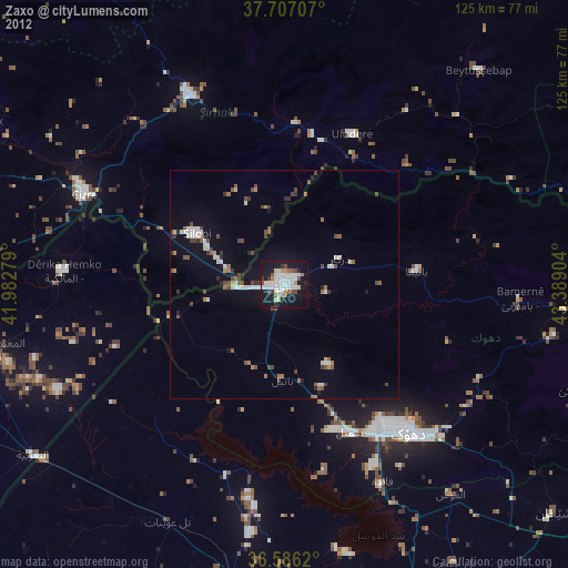
» Earth at Night: Flat Maps 2012, 2016