Al Mawşil al Jadīdah night lights from space
Night Light of Al Mawşil al Jadīdah (Nineveh) from space (Iraq) Src. Average luminocity for 10x10km area is 55.4598% and for 50x50km: 6.5594%.
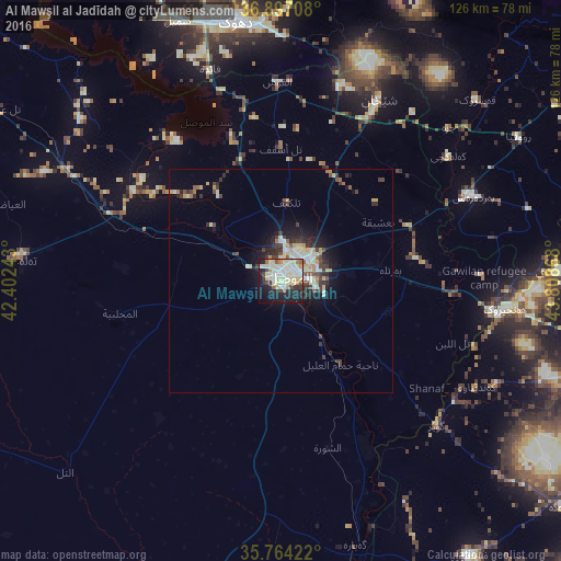
Analysis of Al Mawşil al Jadīdah night lights 2016
Square area 10x10 km:
 6.82%
6.82%90-99
20.28%80-89
15.73%70-79
4.02%60-69
2.45%50-59
2.97%40-49
3.85%30-39
3.67%20-29
14.51%10-19
21.33%0-9
4.37%Square area 50x50 km:
0.39%90-99
1.68%80-89
1.46%70-79
0.57%60-69
0.43%50-59
0.55%40-49
0.78%30-39
1.42%20-29
1.7%10-19
3.68%0-9
87.33%Clear (daylight) street map image can be seen on geolist.org.
Map coordinates:
36° 53' 49.5" North, 42° 24' 8.7" East
36° 19' 57.8" North, 43° 6' 20" East
35° 45' 51.2" North, 43° 48' 31.2" East
Some cities around Al Mawşil al Jadīdah sort by population:
• Mosul
1.2 km =0.7 mi,  77°
77°
• Erbil
82.9 km =51.5 mi,  101°
101°
• Dihok
60.3 km =37.5 mi,  350°
350°
• Sīnah
53.2 km =33.1 mi, 353°
• Al-Hamdaniya
25.3 km =15.7 mi,  105°
105°
• Batifa
94 km =58.4 mi, 354°
• Tallkayf
17.7 km =11 mi,  4°
4°
• ‘Aqrah
85 km =52.8 mi,  55°
55°
99071 (p: 2,065,597)
Sources (retrieved 2019-11-25):
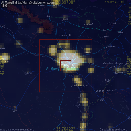
» NASA, Earths city lights 1995
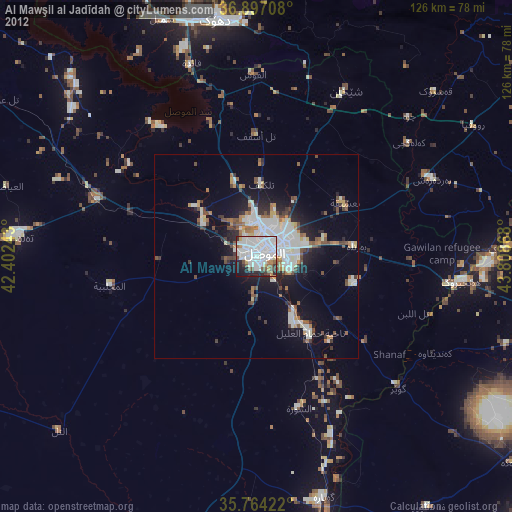
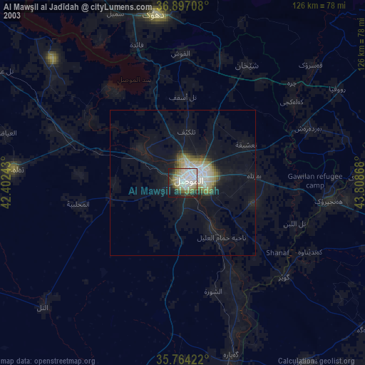
» NASA city lights 2003
» Earth at Night: Flat Maps 2012, 2016