Baghdad night lights from space
Night Light of Baghdad from space (Iraq) Src. Average luminocity for 10x10km area is 99.993% and for 50x50km: 77.1546%.
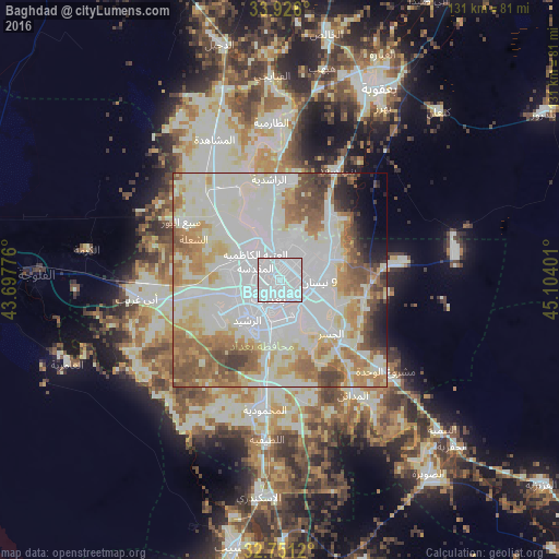
Analysis of Baghdad night lights 2016
Square area 10x10 km:
 99.3%
99.3%90-99
0.7%80-89
0%70-79
0%60-69
0%50-59
0%40-49
0%30-39
0%20-29
0%10-19
0%0-9
0%Square area 50x50 km:
22.76%90-99
29.64%80-89
7.74%70-79
7.48%60-69
8.57%50-59
8.33%40-49
4.61%30-39
2.72%20-29
2.3%10-19
2.35%0-9
3.5%Clear (daylight) street map image can be seen on geolist.org.
Map coordinates:
33° 55' 33.6" North, 43° 41' 51.9" East
33° 20' 26.1" North, 44° 24' 3.2" East
32° 45' 4.3" North, 45° 6' 14.4" East
Some cities around Baghdad sort by population:
• Abū Ghurayb
20.5 km =12.7 mi,  259°
259°
• Al Fallūjah
57.1 km =35.5 mi,  270°
270°
• Baqubah
49.7 km =30.9 mi,  22°
22°
• Khāliş
53.4 km =33.2 mi,  13°
13°
• Al Musayyib
63.3 km =39.3 mi,  189°
189°
• Aş Şuwayrah
57.9 km =36 mi,  142°
142°
• Nāḩīyat Saddat al Hindīyah
70.4 km =43.7 mi, 189°
• Ad Dujayl
58.3 km =36.2 mi,  344°
344°
98182 (p: 7,216,000)
Sources (retrieved 2019-11-25):
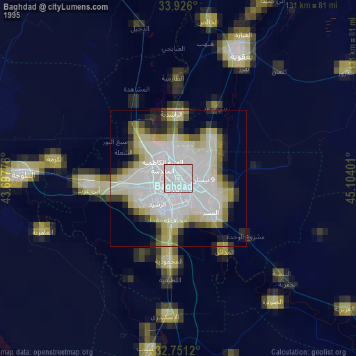
» NASA, Earths city lights 1995
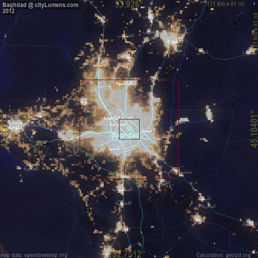
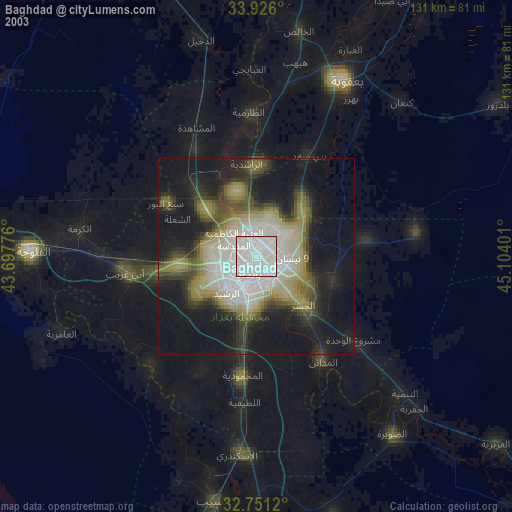
» NASA city lights 2003
» Earth at Night: Flat Maps 2012, 2016