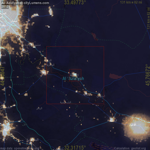
Al ‘Azīzīyah night lights from space
Night Light of Al ‘Azīzīyah (Wāsiţ) from space (Iraq) Src. Average luminocity for 10x10km area is 39.4194% and for 50x50km: 9.9843%.
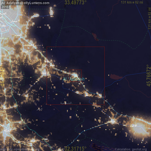
Analysis of Al ‘Azīzīyah night lights 2016
Square area 10x10 km:
 3.85%
3.85%90-99
8.61%80-89
2.38%70-79
2.75%60-69
6.04%50-59
6.78%40-49
11.54%30-39
9.52%20-29
9.16%10-19
31.32%0-9
8.06%Square area 50x50 km:
0.37%90-99
1.24%80-89
0.65%70-79
0.8%60-69
1.33%50-59
1.97%40-49
2.75%30-39
3.16%20-29
2.39%10-19
10.91%0-9
74.42%Clear (daylight) street map image can be seen on geolist.org.
Map coordinates:
33° 29' 51.8" North, 44° 21' 37.7" East
32° 54' 33.9" North, 45° 3' 48.9" East
32° 19' 1.7" North, 45° 46' 0.2" East
Some cities around Al ‘Azīzīyah sort by population:
• Baghdad
78.1 km =48.5 mi,  307°
307°
• Al Kūt
83.2 km =51.7 mi,  121°
121°
• Al Ḩillah
78 km =48.5 mi,  230°
230°
• Al Hindīyah
88 km =54.7 mi,  242°
242°
• Al Musayyib
73.7 km =45.8 mi,  258°
258°
• Aş Şuwayrah
26.9 km =16.7 mi,  273°
273°
• Imam Qasim
76.8 km =47.7 mi,  207°
207°
• Nāḩīyat Saddat al Hindīyah
76.5 km =47.5 mi,  253°
253°
99548 (p: 44,751)
Sources (retrieved 2019-11-25):
» Earth at Night: Flat Maps 2012, 2016