Jamjamāl night lights from space
Night Light of Jamjamāl (Sulaymaniyah) from space (Iraq) Src. Average luminocity for 10x10km area is 49.4029% and for 50x50km: 6.9855%.
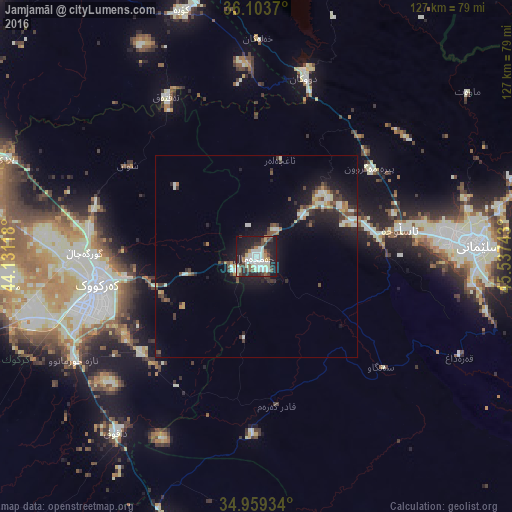

Analysis of Jamjamāl night lights 2016
Square area 10x10 km:
 9.71%
9.71%90-99
14.84%80-89
6.23%70-79
2.75%60-69
2.56%50-59
3.48%40-49
8.61%30-39
7.88%20-29
17.58%10-19
24.91%0-9
1.47%Square area 50x50 km:
0.6%90-99
1.67%80-89
0.61%70-79
0.48%60-69
0.66%50-59
0.6%40-49
1.22%30-39
1.47%20-29
2.04%10-19
6.05%0-9
84.61%Clear (daylight) street map image can be seen on geolist.org.
Map coordinates:
36° 6' 13.3" North, 44° 7' 52.2" East
35° 32' 0.8" North, 44° 50' 3.5" East
34° 57' 33.6" North, 45° 32' 14.7" East
Some cities around Jamjamāl sort by population:
• Erbil
103.5 km =64.3 mi,  314°
314°
• As Sulaymānīyah
54.3 km =33.7 mi,  86°
86°
• Kirkuk
40.7 km =25.3 mi,  259°
259°
• Bāneh, IR
107.9 km =67 mi,  61°
61°
• Tozkhurmato
74.1 km =46 mi,  194°
194°
• Koysinceq
63.8 km =39.6 mi,  343°
343°
• Kifrī
94.5 km =58.7 mi,  173°
173°
• Baynjiwayn
101.3 km =62.9 mi,  84°
84°
97417 (p: 75,634)
Sources (retrieved 2019-11-25):
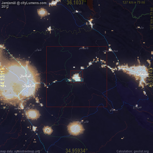
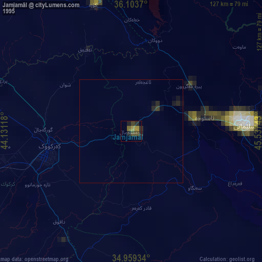
» NASA, Earths city lights 1995
» NASA city lights 2003
» Earth at Night: Flat Maps 2012, 2016