Ad Dīwānīyah night lights from space
Night Light of Ad Dīwānīyah (Al Qādisīyah) from space (Iraq) Src. Average luminocity for 10x10km area is 81.2413% and for 50x50km: 11.7323%.
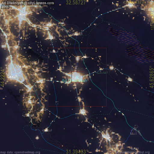
Analysis of Ad Dīwānīyah night lights 2016
Square area 10x10 km:
 26.92%
90-99
30.59%80-89
6.47%70-79
6.12%60-69
9.79%50-59
3.85%40-49
9.44%30-39
2.1%20-29
4.55%10-19
0.17%0-9
0%Square area 50x50 km:
1.24%90-99
1.79%80-89
1.01%70-79
0.98%60-69
1.69%50-59
2.03%40-49
2%30-39
2.76%20-29
3.63%10-19
6.88%0-9
75.98%Clear (daylight) street map image can be seen on geolist.org.
Map coordinates:
32° 35' 14.2" North, 44° 13' 20.6" East
31° 59' 34.4" North, 44° 55' 31.9" East
31° 23' 40.7" North, 45° 37' 43.1" East
Some cities around Ad Dīwānīyah sort by population:
• Najaf
54.7 km =34 mi,  273°
273°
• Kufa
46.2 km =28.7 mi,  278°
278°
• Ash Shāmīyah
30.8 km =19.1 mi,  263°
263°
• Imam Qasim
40.9 km =25.4 mi,  326°
326°
• Nahiyat Ghammas
40.1 km =24.9 mi,  226°
226°
• Al Mishkhāb
46.2 km =28.7 mi,  243°
243°
• Nāḩiyat ash Shināfīyah
52.6 km =32.7 mi,  210°
210°
• ‘Afak
31.4 km =19.5 mi,  75°
75°
99762 (p: 318,801)
Sources (retrieved 2019-11-25):
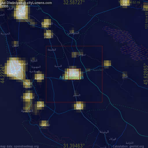
» NASA, Earths city lights 1995
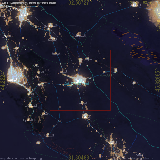
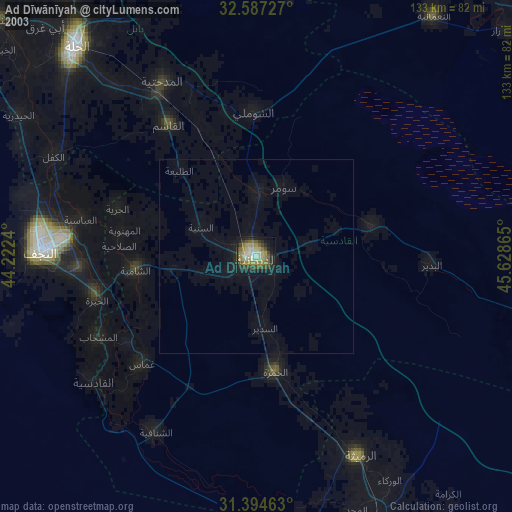
» NASA city lights 2003
» Earth at Night: Flat Maps 2012, 2016