Al Mishkhāb night lights from space
Night Light of Al Mishkhāb (An Najaf) from space (Iraq) Src. Average luminocity for 10x10km area is 50.4139% and for 50x50km: 19.0383%.
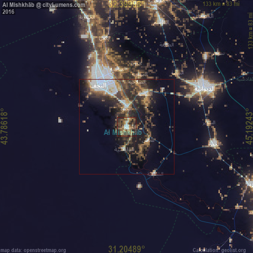
Analysis of Al Mishkhāb night lights 2016
Square area 10x10 km:
 4.03%
4.03%90-99
5.86%80-89
2.38%70-79
10.07%60-69
7.69%50-59
14.29%40-49
20.15%30-39
13%20-29
17.03%10-19
5.49%0-9
0%Square area 50x50 km:
2.33%90-99
2.82%80-89
1.31%70-79
1.87%60-69
2.25%50-59
3.42%40-49
5.21%30-39
5.63%20-29
6.62%10-19
10.59%0-9
57.97%Clear (daylight) street map image can be seen on geolist.org.
Map coordinates:
32° 23' 59.9" North, 43° 47' 10.2" East
31° 48' 15.7" North, 44° 29' 21.5" East
31° 12' 17.6" North, 45° 11' 32.7" East
Some cities around Al Mishkhāb sort by population:
• Najaf
28.1 km =17.5 mi,  331°
331°
• Ad Dīwānīyah
46.2 km =28.7 mi,  63°
63°
• Al Ḩillah
73.6 km =45.7 mi,  354°
354°
• Kufa
27.8 km =17.3 mi, 350°
• Ash Shāmīyah
20.5 km =12.7 mi,  30°
30°
• Imam Qasim
57.8 km =35.9 mi,  18°
18°
• Nahiyat Ghammas
14.1 km =8.8 mi,  118°
118°
• Nāḩiyat ash Shināfīyah
28.7 km =17.8 mi,  148°
148°
99060 (p: 23,189)
Sources (retrieved 2019-11-25):
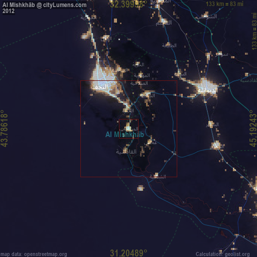
» Earth at Night: Flat Maps 2012, 2016