Ash Shāmīyah night lights from space
Night Light of Ash Shāmīyah (Al Qādisīyah) from space (Iraq) Src. Average luminocity for 10x10km area is 46.1241% and for 50x50km: 25.5057%.
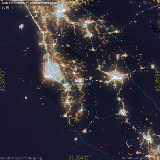
Analysis of Ash Shāmīyah night lights 2016
Square area 10x10 km:
 3.85%
3.85%90-99
2.62%80-89
7.87%70-79
8.74%60-69
8.22%50-59
8.74%40-49
13.29%30-39
13.99%20-29
12.59%10-19
18.88%0-9
1.22%Square area 50x50 km:
3.22%90-99
3.26%80-89
2.18%70-79
2.64%60-69
3.46%50-59
5.16%40-49
7.07%30-39
7.28%20-29
8.39%10-19
11.94%0-9
45.41%Clear (daylight) street map image can be seen on geolist.org.
Map coordinates:
32° 33' 25.7" North, 43° 53' 51.5" East
31° 57' 45.3" North, 44° 36' 2.7" East
31° 21' 50.8" North, 45° 18' 14" East
Some cities around Ash Shāmīyah sort by population:
• Najaf
25 km =15.5 mi,  286°
286°
• Ad Dīwānīyah
30.8 km =19.1 mi,  83°
83°
• Al Ḩillah
58.3 km =36.2 mi,  342°
342°
• Kufa
18.1 km =11.2 mi,  303°
303°
• Imam Qasim
38.1 km =23.7 mi,  11°
11°
• Nahiyat Ghammas
24.5 km =15.2 mi,  175°
175°
• Al Mishkhāb
20.5 km =12.7 mi,  210°
210°
• Nāḩiyat ash Shināfīyah
42.3 km =26.3 mi,  174°
174°
98629 (p: 57,661)
Sources (retrieved 2019-11-25):
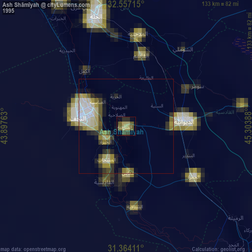
» NASA, Earths city lights 1995
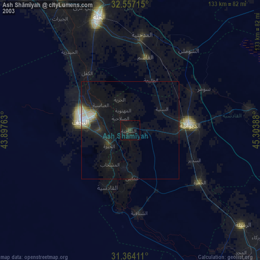
» NASA city lights 2003
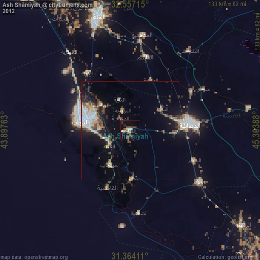
» Earth at Night: Flat Maps 2012, 2016