Visakhapatnam night lights from space
Night Light of Visakhapatnam (Andhra Pradesh) from space (India) Src. Average luminocity for 10x10km area is 95.2789% and for 50x50km: 35.9556%.
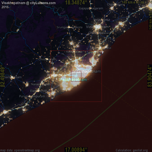
Analysis of Visakhapatnam night lights 2016
Square area 10x10 km:
 36.36%
90-99
53.93%80-89
2.89%70-79
3.51%60-69
2.69%50-59
0.41%40-49
0%30-39
0.21%20-29
0%10-19
0%0-9
0%Square area 50x50 km:
5.71%90-99
11.04%80-89
3.7%70-79
3.97%60-69
3.35%50-59
5.38%40-49
5.46%30-39
5.8%20-29
8.29%10-19
10.95%0-9
36.35%Clear (daylight) street map image can be seen on geolist.org.
Map coordinates:
18° 20' 55.5" North, 82° 29' 54.6" East
17° 40' 48.3" North, 83° 12' 5.8" East
17° 0' 32.2" North, 83° 54' 17.1" East
Some cities around Visakhapatnam sort by population:
• Gajuwaka
2.7 km =1.7 mi,  35°
35°
• Vizianagaram
53.4 km =33.2 mi,  24°
24°
• Anakāpalle
21 km =13 mi,  273°
273°
• Bhīmunipatnam
35.3 km =21.9 mi,  48°
48°
• Chodavaram
32.7 km =20.3 mi,  300°
300°
• Vepagunta
11 km =6.8 mi,  7°
7°
• Elamanchili
39.3 km =24.4 mi,  248°
248°
• Mādugula
48.5 km =30.1 mi, 302°
1253102 (p: 1,063,178)
Sources (retrieved 2019-11-25):
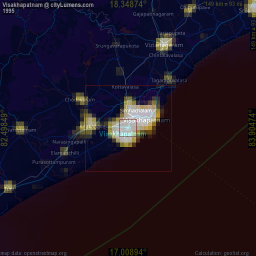
» NASA, Earths city lights 1995
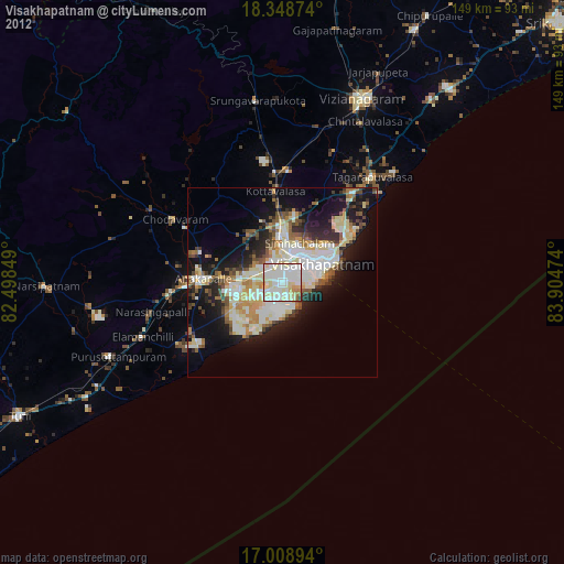
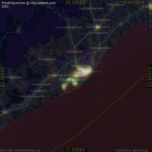
» NASA city lights 2003
» Earth at Night: Flat Maps 2012, 2016